


File:Chepstow Castle and Bridge from Tutshill.jpg
No higher resolution available.
Chepstow_Castle_and_Bridge_from_Tutshill.jpg (640 × 480 pixels, file size: 332 KB, MIME type: image/jpeg)
| Camera location | | View this and other nearby images on: OpenStreetMap |
|---|
| Object location | | View this and other nearby images on: OpenStreetMap |
|---|
_region:GB-EAW_heading:225.00&language=en)
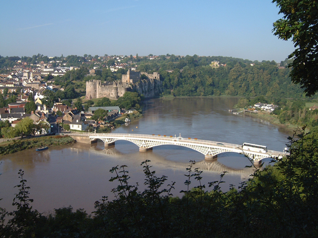
| Description | A view of Chepstow Castle and Bridge from Tutshill. |
| Date | |
| Source | Sourced from Geograph.co.uk. |
| Author | Roy Parkhouse |
| Permission (Reusing this file) |
CC-BY-SA-2.5. |
| Attribution (required by the license) | Roy Parkhouse / Chepstow Castle and Bridge from Tutshill / |

|
This image was taken from the Geograph project collection. See this photograph's page on the Geograph website for the photographer's contact details. The copyright on this image is owned by Roy Parkhouse and is licensed for reuse under the Creative Commons Attribution-ShareAlike 2.0 license.
|
This file is licensed under the Creative Commons Attribution-Share Alike 2.0 Generic license.
Attribution:
Roy Parkhouse
- You are free:
- to share – to copy, distribute and transmit the work
- to remix – to adapt the work
- Under the following conditions:
- attribution – You must give appropriate credit, provide a link to the license, and indicate if changes were made. You may do so in any reasonable manner, but not in any way that suggests the licensor endorses you or your use.
- share alike – If you remix, transform, or build upon the material, you must distribute your contributions under the same or compatible license as the original.
File history
Click on a date/time to view the file as it appeared at that time.
| Date/Time | Thumbnail | Dimensions | User | Comment | |
|---|---|---|---|---|---|
| current | 11:22, 1 April 2008 | | 640 × 480 (332 KB) | Jza84 | {{Information |Description= A view of Chepstow Castle and Bridge from Tutshill. |Date= Taken 14 July, 2002. |Source=Sourced from [http://www.geograph.org.uk/photo/203745 Geograph.co.uk]. |Author=Roy Parkhouse |Permission=CC-BY-SA-2.5. |other_versions= }} |
File usage
The following 6 pages use this file:
Global file usage
The following other wikis use this file:
- Usage on ast.wikipedia.org
- Usage on bg.wikipedia.org
- Usage on br.wikipedia.org
- Usage on ca.wikipedia.org
- Usage on cs.wikipedia.org
- Usage on cy.wikipedia.org
- Usage on da.wikipedia.org
- Usage on de.wikipedia.org
- Usage on de.wikivoyage.org
- Usage on en.wikivoyage.org
- Usage on es.wikipedia.org
- Usage on eu.wikipedia.org
- Usage on fa.wikipedia.org
- Usage on fr.wikipedia.org
- Usage on fy.wikipedia.org
- Usage on ga.wikipedia.org
- Usage on gd.wikipedia.org
- Usage on he.wikipedia.org
- Usage on hi.wikipedia.org
- Usage on it.wikipedia.org
- Usage on it.wikivoyage.org
- Usage on ja.wikipedia.org
- Usage on kw.wikipedia.org
- Usage on la.wikipedia.org
- Usage on lv.wikipedia.org
- Usage on nl.wikipedia.org
- Usage on no.wikipedia.org
- Usage on oc.wikipedia.org
View more global usage of this file.