


Size of this preview: 306 × 599 pixels. Other resolutions: 122 × 240 pixels | 245 × 480 pixels | 392 × 768 pixels | 1,050 × 2,054 pixels.
Original file (1,050 × 2,054 pixels, file size: 105 KB, MIME type: image/jpeg)
Summary
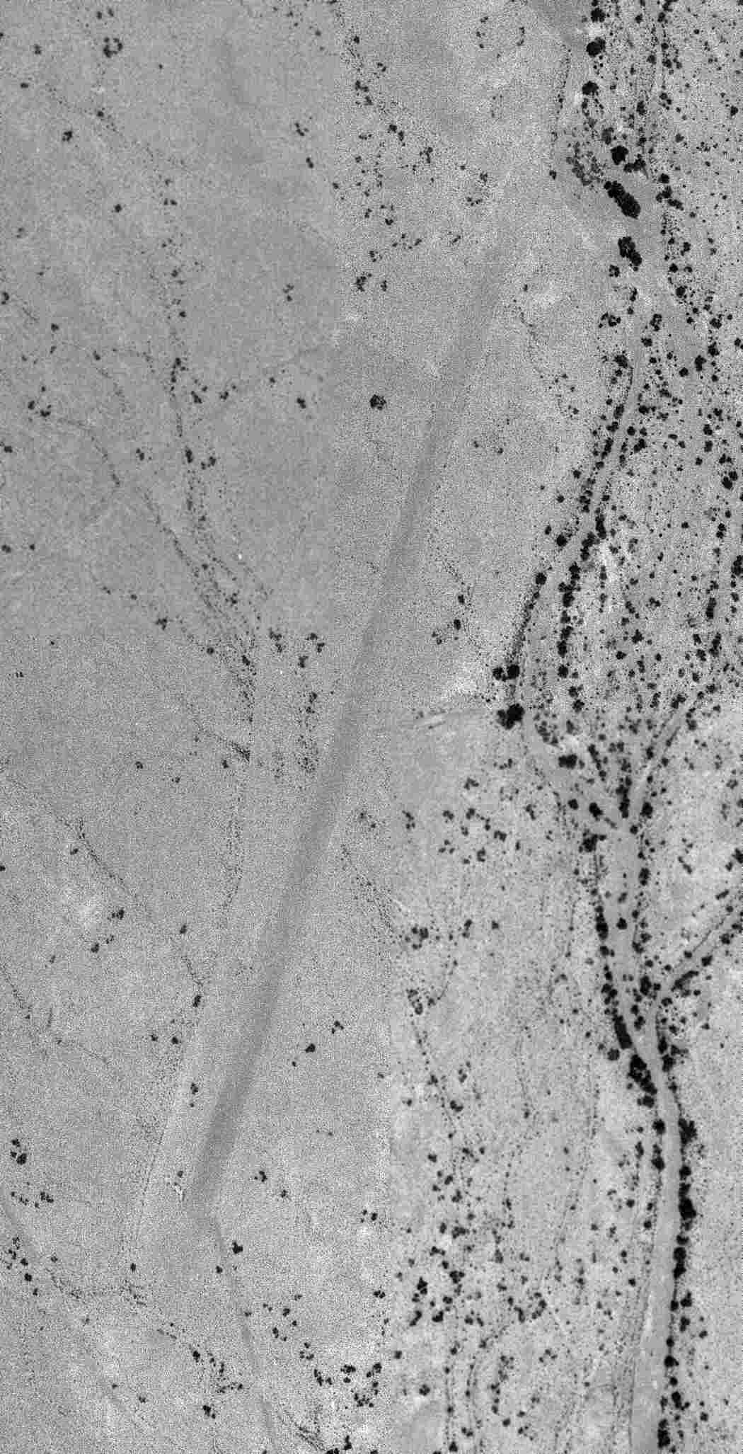
| Description |
English: Camp Horn Airfield was in 7/2/63 a USGS aerial view. |
| Date | 7/2/63 |
| Source | http://www.members.tripod.com/airfields_freeman/AZ/CampHorn_AZ_63Jul2.jpg |
| Author | USGS |
Licensing
This image is in the public domain in the United States because it only contains materials that originally came from the United States Geological Survey, an agency of the United States Department of the Interior. For more information, see the official USGS copyright policy.
|
File history
Click on a date/time to view the file as it appeared at that time.
| Date/Time | Thumbnail | Dimensions | User | Comment | |
|---|---|---|---|---|---|
| current | 03:48, 6 September 2019 | | 1,050 × 2,054 (105 KB) | Telecineguy | Uploading a public-domain item using File Upload Wizard |
File usage
The following page uses this file:
You must be logged in to post a comment.