


File:South Harrow station geograph-4005135-by-Ben-Brooksbank.jpg
Size of this preview: 800 × 460 pixels. Other resolutions: 320 × 184 pixels | 640 × 368 pixels | 1,024 × 589 pixels | 1,280 × 736 pixels | 2,345 × 1,348 pixels.
Original file (2,345 × 1,348 pixels, file size: 3.08 MB, MIME type: image/jpeg)
Summary
| Description |
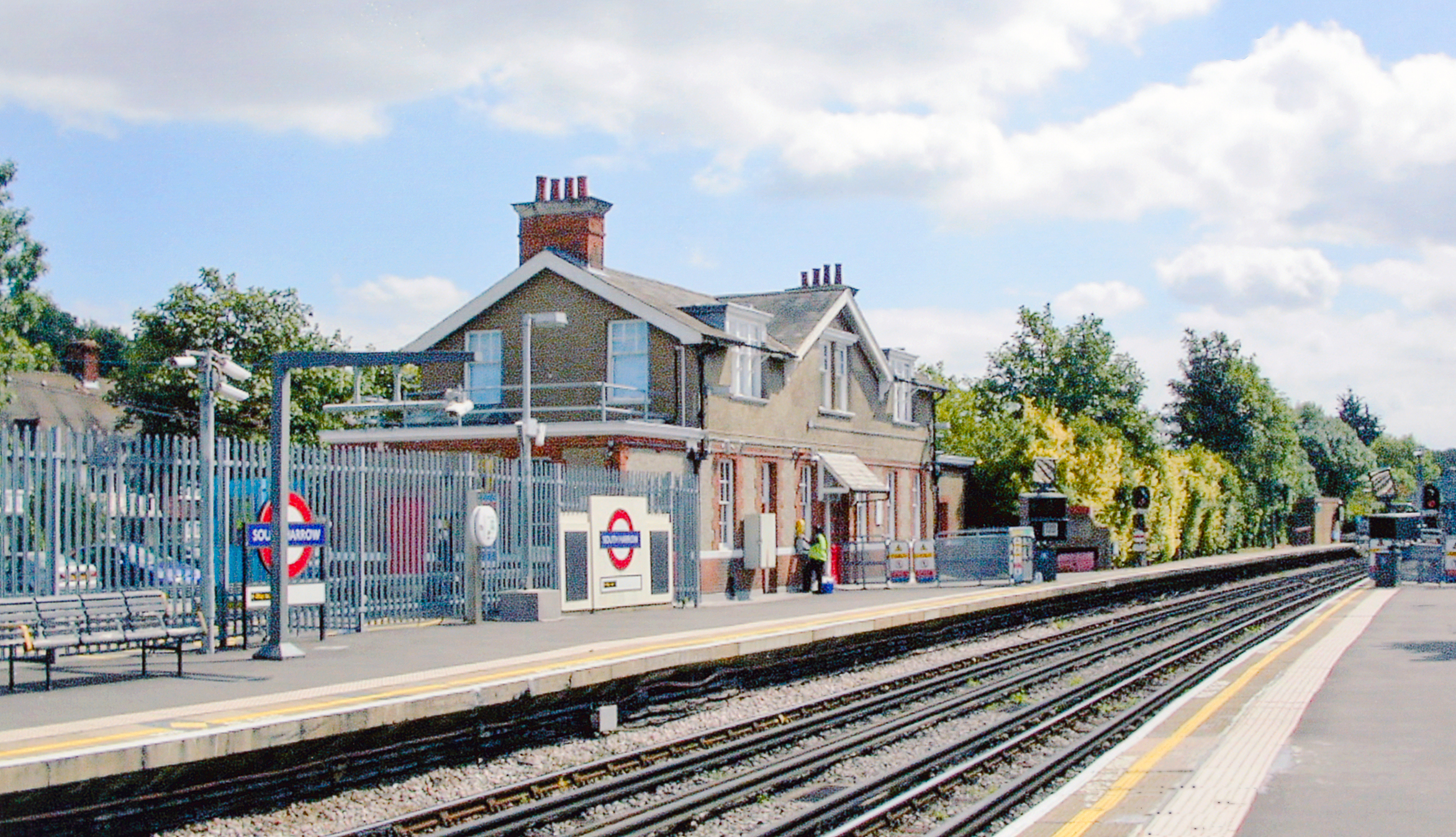
English: South Harrow station, Piccadilly Line. View southward on the line from Uxbridge and Rayners Lane, towards Acton Town, Piccadilly Circus, King's Cross St Pancras and Cockfosters: London Underground. The Station House is privately occupied |
| Date | |
| Source | From geograph.org.uk |
| Author | Ben Brooksbank |
| Permission (Reusing this file) |
Creative Commons Attribution Share-alike license 2.0 |
| Attribution (required by the license) | Ben Brooksbank / South Harrow station, Piccadilly Line / |
| Camera location | | View this and other nearby images on: OpenStreetMap |
|---|
Licensing

|
This image was taken from the Geograph project collection. See this photograph's page on the Geograph website for the photographer's contact details. The copyright on this image is owned by Ben Brooksbank and is licensed for reuse under the Creative Commons Attribution-ShareAlike 2.0 license.
|
This file is licensed under the Creative Commons Attribution-Share Alike 2.0 Generic license.
Attribution:
Ben Brooksbank
- You are free:
- to share – to copy, distribute and transmit the work
- to remix – to adapt the work
- Under the following conditions:
- attribution – You must give appropriate credit, provide a link to the license, and indicate if changes were made. You may do so in any reasonable manner, but not in any way that suggests the licensor endorses you or your use.
- share alike – If you remix, transform, or build upon the material, you must distribute your contributions under the same or compatible license as the original.
File history
Click on a date/time to view the file as it appeared at that time.
| Date/Time | Thumbnail | Dimensions | User | Comment | |
|---|---|---|---|---|---|
| current | 05:58, 25 June 2014 | | 2,345 × 1,348 (3.08 MB) | Chevin | == {{int:filedesc}} == {{Information |Description={{en|1='''South Harrow station, Piccadilly Line.'''<br /> View southward on the line from Uxbridge and Rayners Lane, towards Acton Town, Piccadilly Circus, King's Cross St Pancras and Cockfosters: Londo... |
File usage
The following page uses this file:
Global file usage
The following other wikis use this file:
- Usage on ca.wikipedia.org
- Usage on cs.wikipedia.org
- Usage on hu.wikipedia.org
- Usage on it.wikipedia.org