


File:Heilbronn Kanalhafen 20050905.jpg
Size of this preview: 800 × 521 pixels. Other resolutions: 320 × 208 pixels | 640 × 417 pixels | 1,024 × 667 pixels | 1,480 × 964 pixels.
Original file (1,480 × 964 pixels, file size: 213 KB, MIME type: image/jpeg)
Summary
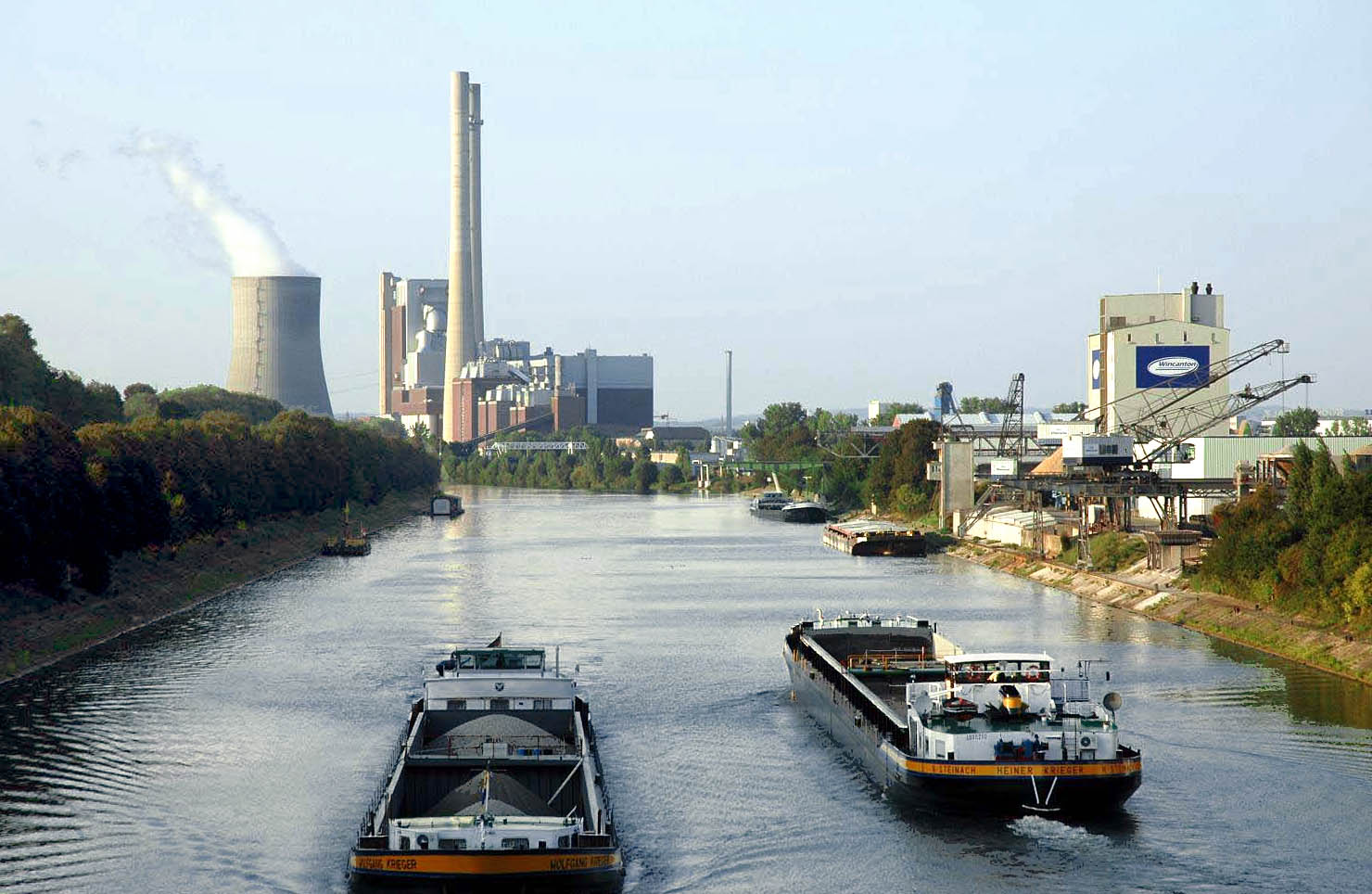
| Description |
Deutsch: Heilbronner Kanalhafen mit Großkraftwerk der EnBW. English: domestic port of Heilbronn (Germany), EnBW power plant in the background. |
| Date | |
| Source | Own work |
| Author | K. Jähne |
| Camera location | | View this and other nearby images on: OpenStreetMap |
|---|
Licensing
I, the copyright holder of this work, hereby publish it under the following licenses:

|
Permission is granted to copy, distribute and/or modify this document under the terms of the GNU Free Documentation License, Version 1.2 or any later version published by the Free Software Foundation; with no Invariant Sections, no Front-Cover Texts, and no Back-Cover Texts. A copy of the license is included in the section entitled GNU Free Documentation License. |
| This file is licensed under the Creative Commons Attribution-Share Alike 3.0 Unported license. | ||
| ||
| This licensing tag was added to this file as part of the GFDL licensing update. |
You may select the license of your choice.
File history
Click on a date/time to view the file as it appeared at that time.
| Date/Time | Thumbnail | Dimensions | User | Comment | |
|---|---|---|---|---|---|
| current | 21:48, 10 June 2007 | | 1,480 × 964 (213 KB) | TRXX-TRXX | color corrected edit |
| 16:42, 26 March 2006 |  | 1,504 × 1,000 (179 KB) | Kjunix | Tonwertkorrektur | |
| 14:09, 12 November 2005 |  | 1,504 × 1,000 (193 KB) | Kjunix |
File usage
Global file usage
The following other wikis use this file:
- Usage on arz.wikipedia.org
- Usage on de.wikipedia.org
- Usage on ja.wikipedia.org