


File:Bunbeg - R258 - geograph.org.uk - 1177841.jpg
No higher resolution available.
Bunbeg_-_R258_-_geograph.org.uk_-_1177841.jpg (639 × 426 pixels, file size: 349 KB, MIME type: image/jpeg)
Summary
| Description |
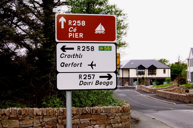
English: Bunbeg - R258 As seen travelling a bit NW on R258. We made a right turn at the intersection, with R257 just ahead, to drive to Derrybeg (Doiri Beaga in Gaelic) via R257. |
| Date | |
| Source | From geograph.org.uk |
| Author | Sue Mischyshyn |
| Camera location | | View this and other nearby images on: OpenStreetMap |
|---|
_heading:292.00&language=en)
| Object location | | View this and other nearby images on: OpenStreetMap |
|---|
_heading:292.00&language=en)
Licensing

|
This image was taken from the Geograph project collection. See this photograph's page on the Geograph website for the photographer's contact details. The copyright on this image is owned by Sue Mischyshyn and is licensed for reuse under the Creative Commons Attribution-ShareAlike 2.0 license.
|
This file is licensed under the Creative Commons Attribution-Share Alike 2.0 Generic license.
Attribution:
Sue Mischyshyn
- You are free:
- to share – to copy, distribute and transmit the work
- to remix – to adapt the work
- Under the following conditions:
- attribution – You must give appropriate credit, provide a link to the license, and indicate if changes were made. You may do so in any reasonable manner, but not in any way that suggests the licensor endorses you or your use.
- share alike – If you remix, transform, or build upon the material, you must distribute your contributions under the same or compatible license as the original.
File history
Click on a date/time to view the file as it appeared at that time.
| Date/Time | Thumbnail | Dimensions | User | Comment | |
|---|---|---|---|---|---|
| current | 16:48, 25 February 2011 | | 639 × 426 (349 KB) | GeographBot | == {{int:filedesc}} == {{Information |description={{en|1=Bunbeg - R258 As seen travelling a bit NW on R258. We made a right turn at the intersection, with R257 just ahead, to drive to Derrybeg (Doiri Beaga in Gaelic) via R257.}} |date=2008-05-08 |source=F |
File usage
The following 3 pages use this file:
Global file usage
The following other wikis use this file:
- Usage on arz.wikipedia.org
- Usage on ca.wikipedia.org