


File:Txu-oclc-6614368-nl52-11a.jpg

Size of this preview: 671 × 599 pixels. Other resolutions: 269 × 240 pixels | 538 × 480 pixels | 860 × 768 pixels | 1,147 × 1,024 pixels | 2,293 × 2,048 pixels | 3,180 × 2,840 pixels.
Original file (3,180 × 2,840 pixels, file size: 1.22 MB, MIME type: image/jpeg)
Summary
| Description |
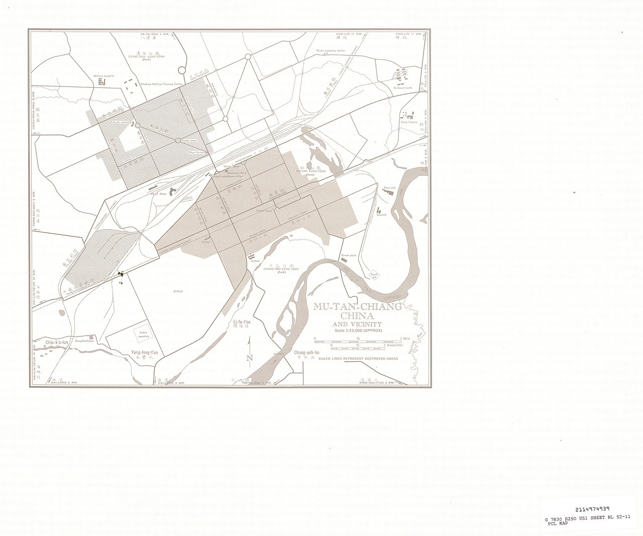
English: Manchuria AMS Topographic Maps - [Code: 2114974939 G 7830 S250 U54 Sheet NL 52-11 PCL MAP] |
| Date | 1950s |
| Source | http://legacy.lib.utexas.edu/maps/ams/manchuria/ |
| Author | Army Map Serivce, Corps of Engineers |
Licensing
This image or file is a work of a U.S. Army Corps of Engineers soldier or employee, taken or made as part of that person's official duties. As a work of the U.S. federal government, the image is in the public domain.
|
File history
Click on a date/time to view the file as it appeared at that time.
| Date/Time | Thumbnail | Dimensions | User | Comment | |
|---|---|---|---|---|---|
| current | 22:59, 9 August 2025 | | 3,180 × 2,840 (1.22 MB) | Enyavar | Cropped 36 % horizontally, 32 % vertically, 57 % areawise using CropTool with precise mode. |
| 00:11, 13 September 2019 |  | 5,000 × 4,168 (1.58 MB) | Geographyinitiative | User created page with UploadWizard |
File usage
The following page uses this file:
Global file usage
The following other wikis use this file:
- Usage on arz.wikipedia.org