


File:Sydney-orbital-black-line.png
Size of this preview: 800 × 587 pixels. Other resolutions: 320 × 235 pixels | 640 × 469 pixels | 1,024 × 751 pixels | 1,280 × 939 pixels | 2,333 × 1,711 pixels.
Original file (2,333 × 1,711 pixels, file size: 6.79 MB, MIME type: image/png)
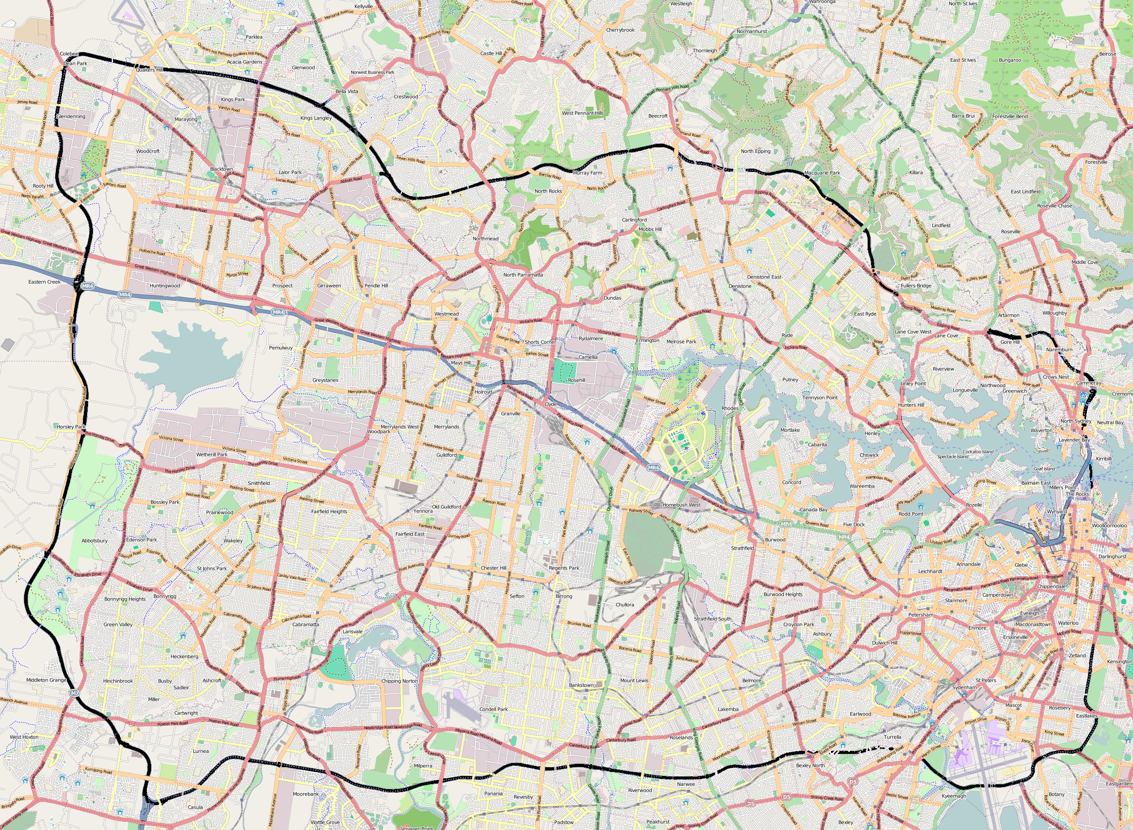
| Description |
English: Mapnik export of Sydney Orbital area, edited in GIMP to show Sydney Orbital with heavy black line. |
| Date | |
| Source | OpenStreetMap.org |
| Author | OpenStreetMap contributors |
| Permission (Reusing this file) |
This file is licensed under the Creative Commons Attribution-Share Alike 2.0 Generic license.
|
File history
Click on a date/time to view the file as it appeared at that time.
| Date/Time | Thumbnail | Dimensions | User | Comment | |
|---|---|---|---|---|---|
| current | 02:33, 9 July 2010 | | 2,333 × 1,711 (6.79 MB) | Ralmin | {{Information |Description={{en|1=Mapnik export of Sydney Orbital area, edited in GIMP to show Sydney Orbital with heavy black line.}} |Source=OpenStreetMap.org |Author=OpenStreetMap contributors |Date=2010-07-09 |Permission={{cc-by-sa-2.0}} |other_versio |
File usage
The following 2 pages use this file:
Global file usage
The following other wikis use this file:
- Usage on fy.wikipedia.org
- Usage on uk.wikipedia.org