


File:Fields by Carnfunnock Country Park - geograph.org.uk - 797985.jpg
No higher resolution available.
Fields_by_Carnfunnock_Country_Park_-_geograph.org.uk_-_797985.jpg (640 × 480 pixels, file size: 419 KB, MIME type: image/jpeg)
Summary
| Description |
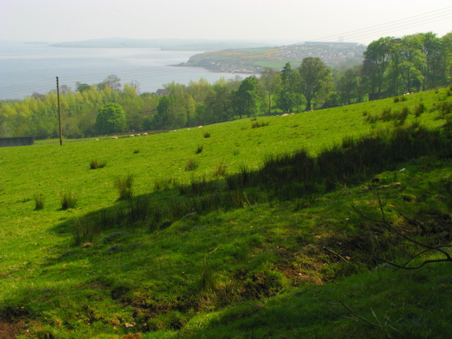
English: Fields by Carnfunnock Country Park. Looking towards Larne from Carnfunnock Country Park - the edge of the town is visible in the distance and you can just make out the three chimney tops of Ballylumford Power Station 467459 behind. |
| Date | |
| Source | From geograph.org.uk |
| Author | Ross |
| Camera location | | View this and other nearby images on: OpenStreetMap |
|---|
_heading:157.00&language=en)
| Object location | | View this and other nearby images on: OpenStreetMap |
|---|
_heading:157.00&language=en)
Licensing

|
This image was taken from the Geograph project collection. See this photograph's page on the Geograph website for the photographer's contact details. The copyright on this image is owned by Ross and is licensed for reuse under the Creative Commons Attribution-ShareAlike 2.0 license.
|
This file is licensed under the Creative Commons Attribution-Share Alike 2.0 Generic license.
Attribution:
Ross
- You are free:
- to share – to copy, distribute and transmit the work
- to remix – to adapt the work
- Under the following conditions:
- attribution – You must give appropriate credit, provide a link to the license, and indicate if changes were made. You may do so in any reasonable manner, but not in any way that suggests the licensor endorses you or your use.
- share alike – If you remix, transform, or build upon the material, you must distribute your contributions under the same or compatible license as the original.
File history
Click on a date/time to view the file as it appeared at that time.
| Date/Time | Thumbnail | Dimensions | User | Comment | |
|---|---|---|---|---|---|
| current | 04:47, 20 February 2011 | | 640 × 480 (419 KB) | GeographBot | == {{int:filedesc}} == {{Information |description={{en|1=Fields by Carnfunnock Country Park Looking towards Larne from Carnfunnock Country Park - the edge of the town is visible in the distance and you can just make out the three chimney tops of Ballylumf |
File usage
The following page uses this file: