


File:Great Plains Eastern New Mexico 2004.jpg
Size of this preview: 800 × 531 pixels. Other resolutions: 320 × 213 pixels | 640 × 425 pixels | 1,024 × 680 pixels | 1,280 × 850 pixels | 2,048 × 1,360 pixels.
Original file (2,048 × 1,360 pixels, file size: 1.23 MB, MIME type: image/jpeg)
Summary
| Description | |
| Date | |
| Source | Own work |
| Author | Leaflet |
| Other versions | Public domain photos of the Llano Estacado and Eastern New Mexico |
| Camera location | | View this and other nearby images on: OpenStreetMap |
|---|
Licensing
I, the copyright holder of this work, hereby publish it under the following license:
This file is licensed under the Creative Commons Attribution-Share Alike 3.0 Unported license.
- You are free:
- to share – to copy, distribute and transmit the work
- to remix – to adapt the work
- Under the following conditions:
- attribution – You must give appropriate credit, provide a link to the license, and indicate if changes were made. You may do so in any reasonable manner, but not in any way that suggests the licensor endorses you or your use.
- share alike – If you remix, transform, or build upon the material, you must distribute your contributions under the same or compatible license as the original.
File history
Click on a date/time to view the file as it appeared at that time.
| Date/Time | Thumbnail | Dimensions | User | Comment | |
|---|---|---|---|---|---|
| current | 13:43, 16 April 2017 | | 2,048 × 1,360 (1.23 MB) | Leaflet | Reverted to version as of 02:38, 28 December 2009 (UTC) |
| 10:45, 27 April 2014 |  | 2,048 × 1,360 (502 KB) | Bleakcomb | Correct image. Exposure, colour, sharpen. | |
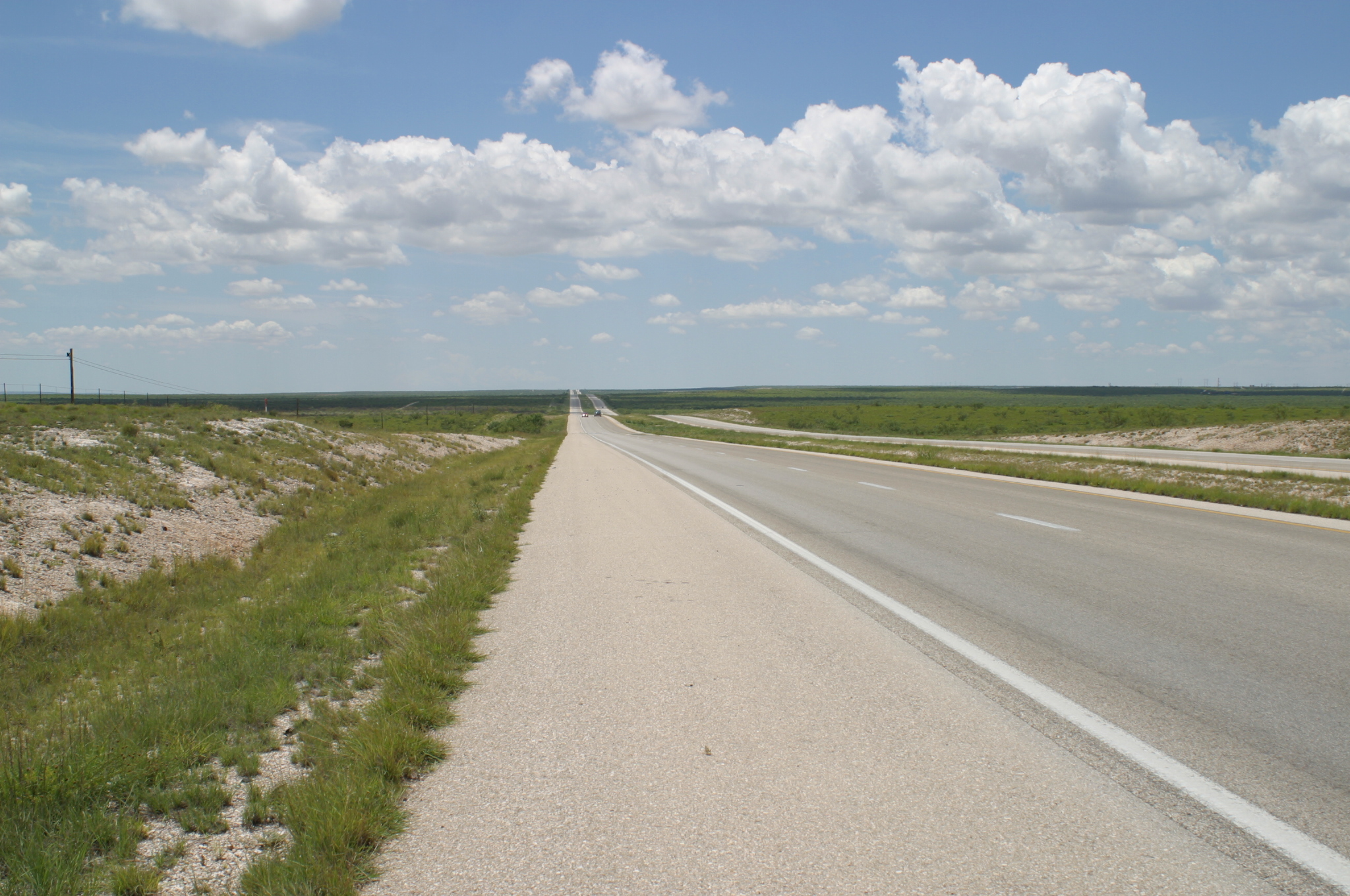
| 02:38, 28 December 2009 |  | 2,048 × 1,360 (1.23 MB) | Leaflet | {{Information |Description={{en|1=A portion of the {{w|Great Plains}} west of Hobbs in {{w|Eastern New Mexico}}.}} |Source={{own}} |Author=Leaflet |Date=2004-07-29 |Permission= |other_versions= }} {{Location dec|32.684152|-103.40788}} [[C |
File usage
The following 3 pages use this file:
Global file usage
The following other wikis use this file:
- Usage on de.wikipedia.org
- Usage on fr.wikipedia.org
- Usage on it.wikipedia.org
- Usage on www.wikidata.org
- Usage on zh.wikipedia.org