


File:River Wye estuary and M48 Wye road bridge.jpg
Size of this preview: 800 × 531 pixels. Other resolutions: 320 × 213 pixels | 640 × 425 pixels | 1,024 × 680 pixels | 1,280 × 850 pixels | 2,560 × 1,700 pixels | 4,288 × 2,848 pixels.
Original file (4,288 × 2,848 pixels, file size: 5.92 MB, MIME type: image/jpeg)
| Description |
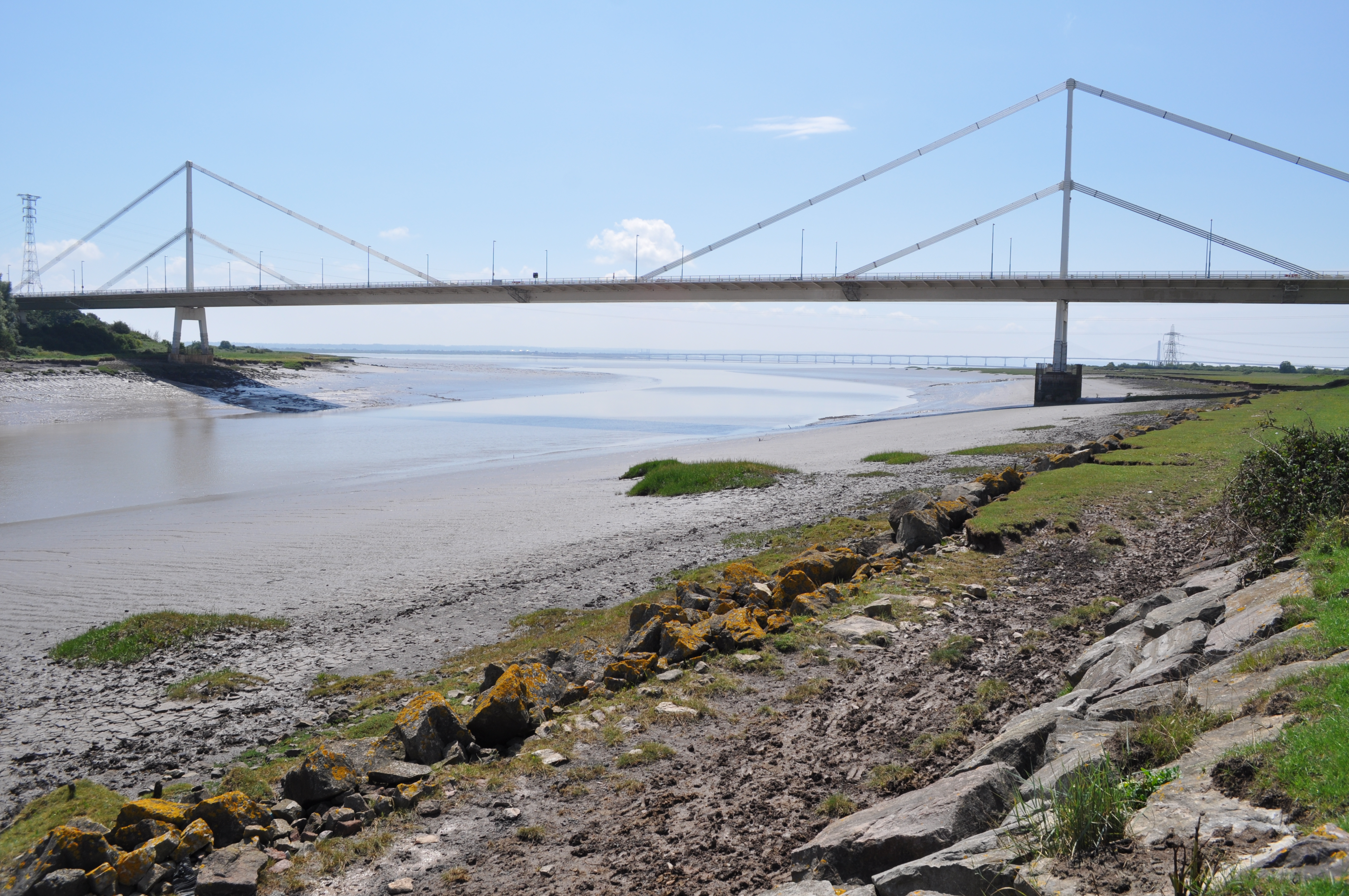
English: The Severn Bridge spans the River Severn between South Gloucestershire, England, and Monmouthshire in South Wales,
Français : Le pont de la Severn franchit la Severn entre le Gloucestershire du Sud, Angleterre et Sir Fynwy en Galles du Sud |
||
| Date | |||
| Source | From River Wye estuary and M48 Wye road bridge, near to Beachley, Gloucestershire, Great Britain - Geograph.org.uk | ||
| Author | Nicholas Mutton | ||
| Permission (Reusing this file) |
This file is licensed under the Creative Commons Attribution-Share Alike 2.0 Generic license. Attribution: Nicholas Mutton
|
||
| Attribution (required by the license) | Nicholas Mutton / River Wye estuary and M48 Wye road bridge / | ||

| Camera location | | View this and other nearby images on: OpenStreetMap |
|---|
File history
Click on a date/time to view the file as it appeared at that time.
| Date/Time | Thumbnail | Dimensions | User | Comment | |
|---|---|---|---|---|---|
| current | 14:55, 10 September 2017 | | 4,288 × 2,848 (5.92 MB) | Geograph Update Bot | Higher-resolution version from Geograph. |
| 10:55, 13 November 2010 |  | 640 × 425 (78 KB) | Glabb | {{Information |Description = {{en|The '''Severn Bridge''' spans the River Severn between South Gloucestershire, England, and Monmouthshire in South Wales,}} {{fr|Le '''pont de la Severn''' franchit la Severn entr |
File usage
The following 3 pages use this file:
Global file usage
The following other wikis use this file:
- Usage on cs.wikipedia.org
- Usage on da.wikipedia.org
- Usage on es.wikipedia.org
- Usage on fa.wikipedia.org
- Usage on fr.wikipedia.org
- Usage on ja.wikipedia.org
- Usage on mr.wikipedia.org
- Usage on ru.wikipedia.org
- Usage on sk.wikipedia.org
- Usage on sl.wikipedia.org
- Usage on tt.wikipedia.org
- Usage on www.wikidata.org