


File:Cranfield Church, Lough Neagh - geograph.org.uk - 532866.jpg
No higher resolution available.
Cranfield_Church,_Lough_Neagh_-_geograph.org.uk_-_532866.jpg (640 × 427 pixels, file size: 48 KB, MIME type: image/jpeg)
Summary
| Description |
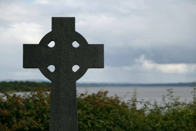
English: Cranfield Church, Lough Neagh The ruins of Cranfield Church are on the north shore of Lough Neagh at Churchtown Point. It was built in the 13th century and nearby is a holy well, which provides spring water and amber coloured crystals. It was believed that if one of these stones was swallowed it would protect women during childbirth, men from drowning and homes from fire and burglary. In the last century emigrants to America believed that, if they swallowed a pebble, they would sail safely across the Atlantic Ocean. |
| Date | |
| Source | From geograph.org.uk |
| Author | Lisa Jarvis |
| Attribution (required by the license) | Lisa Jarvis / Cranfield Church, Lough Neagh / |
| Camera location | | View this and other nearby images on: OpenStreetMap |
|---|
_heading:180.00&language=en)
| Object location | | View this and other nearby images on: OpenStreetMap |
|---|
_heading:180.00&language=en)
Licensing

|
This image was taken from the Geograph project collection. See this photograph's page on the Geograph website for the photographer's contact details. The copyright on this image is owned by Lisa Jarvis and is licensed for reuse under the Creative Commons Attribution-ShareAlike 2.0 license.
|
This file is licensed under the Creative Commons Attribution-Share Alike 2.0 Generic license.
Attribution:
Lisa Jarvis
- You are free:
- to share – to copy, distribute and transmit the work
- to remix – to adapt the work
- Under the following conditions:
- attribution – You must give appropriate credit, provide a link to the license, and indicate if changes were made. You may do so in any reasonable manner, but not in any way that suggests the licensor endorses you or your use.
- share alike – If you remix, transform, or build upon the material, you must distribute your contributions under the same or compatible license as the original.
File history
Click on a date/time to view the file as it appeared at that time.
| Date/Time | Thumbnail | Dimensions | User | Comment | |
|---|---|---|---|---|---|
| current | 19:31, 5 February 2011 | | 640 × 427 (48 KB) | GeographBot | == {{int:filedesc}} == {{Information |description={{en|1=Cranfield Church, Lough Neagh The ruins of Cranfield Church are on the north shore of Lough Neagh at Churchtown Point. It was built in the 13th century and nearby is a holy well, which provides spri |
File usage
The following page uses this file: