


Puerto Rico Highway 212 (PR-212) is a north–south bypass located south of downtown Isabela, Puerto Rico.[3] This road extends from the junction of PR-2 with PR-4494 to PR-4472, near PR-112, and is known as Carretera Santiago Polanco Abreu.[1]
-
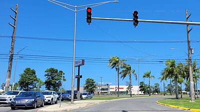 Southern terminus of PR-212

Major intersections
The entire route is located in Isabela.
| Location | km[2] | mi | Destinations | Notes | |
|---|---|---|---|---|---|
| Arenales Bajos–Guerrero– Mora tripoint | 0.0 | 0.0 | Southern terminus of PR-212 | ||
| Mora | 1.3 | 0.81 | PR-Calle José González – Isabela | ||
| 2.6 | 1.6 | Northern terminus of PR-212; seagull intersection | |||
| 1.000 mi = 1.609 km; 1.000 km = 0.621 mi | |||||
See also
References
- ^ a b "Ley Núm. 167 de 2014 -Para denominar el tramo desde el sector La Curva en la PR-2 del Municipio de Isabela con el nombre de "Santiago Polanco Abreu"". LexJuris (Leyes y Jurisprudencia) de Puerto Rico (in Spanish). Retrieved 29 March 2019.
- ^ a b "PR-212" (Map). Google Maps. Retrieved 28 February 2020.
- ^ National Geographic Maps (2011). Puerto Rico (Map). 1:125,000. Adventure Map (Book 3107). Evergreen, Colorado: National Geographic Maps. ISBN 978-1566955188. OCLC 756511572.
External links
 Media related to Puerto Rico Highway 212 at Wikimedia Commons
You must be logged in to post a comment.