


Size of this preview: 800 × 600 pixels. Other resolutions: 320 × 240 pixels | 640 × 480 pixels | 1,024 × 768 pixels | 1,280 × 960 pixels | 2,560 × 1,920 pixels | 3,264 × 2,448 pixels.
Original file (3,264 × 2,448 pixels, file size: 10.24 MB, MIME type: image/png)
| Description |
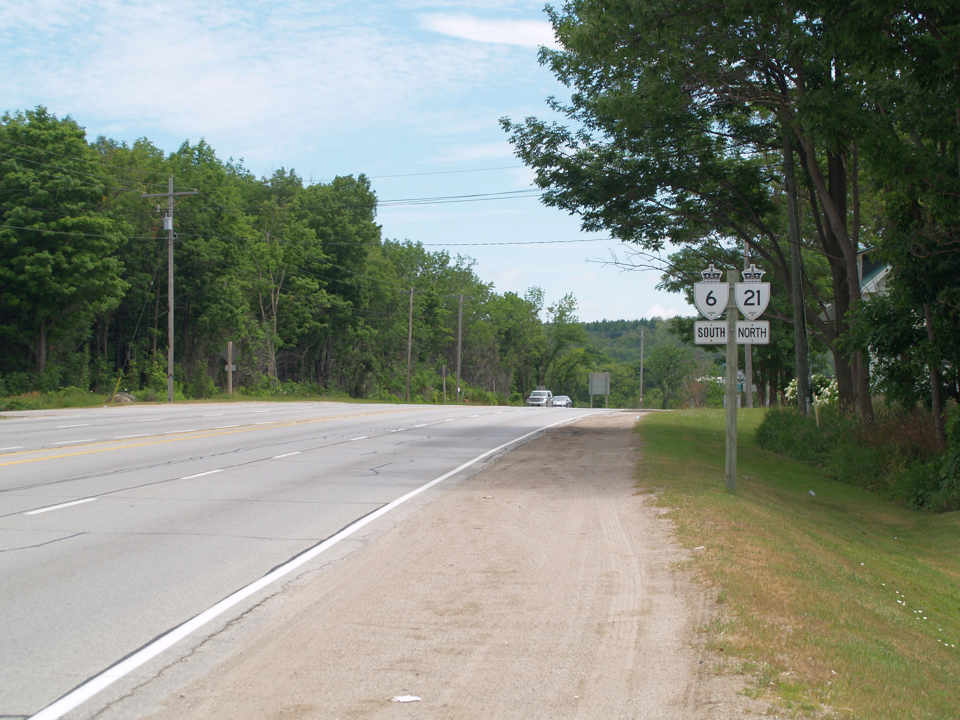
Highway 21 north and Highway 6 south. This brief concurrency through Owen Sound and west to Springmount is the only example of a Wrong-way concurrency in the provincial highway network. |
|---|---|
| Source |
Own work |
| Date |
July 9, 2012 |
| Author | |
| Permission (Reusing this file) |
I, the copyright holder of this work, hereby publish it under the following license:
|
File history
Click on a date/time to view the file as it appeared at that time.
| Date/Time | Thumbnail | Dimensions | User | Comment | |
|---|---|---|---|---|---|
| current | 20:43, 11 July 2012 | | 3,264 × 2,448 (10.24 MB) | Floydian (talk | contribs) | {{Information |Description = Highway 21 north and Highway 6 south. This brief concurrency through Owen Sound and west to Springmount is the only example of a Wrong-way concurrency in the provincial highway network. |Source = {{own}} |Dat... |
You cannot overwrite this file.
File usage
The following file is a duplicate of this file (more details):
- File:Only Wrong-way Concurrency in Ontario.png from Commons
The following 2 pages use this file:
You must be logged in to post a comment.