


Size of this preview: 800 × 437 pixels. Other resolutions: 320 × 175 pixels | 640 × 350 pixels | 1,024 × 560 pixels | 1,280 × 699 pixels | 2,560 × 1,399 pixels | 4,928 × 2,693 pixels.
Original file (4,928 × 2,693 pixels, file size: 8.01 MB, MIME type: image/jpeg)
Summary
| Description |
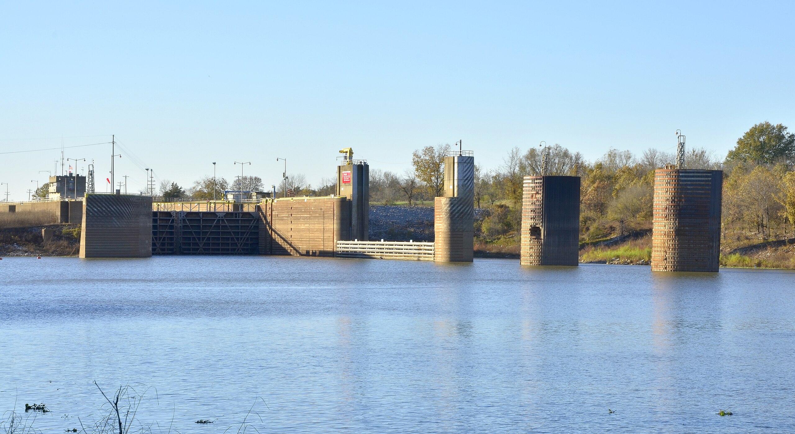
English: Norrell Lock and Dam in Arkansas, part of the McClellan–Kerr Arkansas River Navigation System. |
| Date | |
| Source | Own work |
| Author | Magnolia677 |
| Camera location | | View this and other nearby images on: OpenStreetMap |
|---|
Licensing
I, the copyright holder of this work, hereby publish it under the following license:
This file is licensed under the Creative Commons Attribution 4.0 International license.
- You are free:
- to share – to copy, distribute and transmit the work
- to remix – to adapt the work
- Under the following conditions:
- attribution – You must give appropriate credit, provide a link to the license, and indicate if changes were made. You may do so in any reasonable manner, but not in any way that suggests the licensor endorses you or your use.
File history
Click on a date/time to view the file as it appeared at that time.
| Date/Time | Thumbnail | Dimensions | User | Comment | |
|---|---|---|---|---|---|
| current | 00:14, 20 June 2017 | | 4,928 × 2,693 (8.01 MB) | Magnolia677 | User created page with UploadWizard |
File usage
The following page uses this file:
You must be logged in to post a comment.