


Size of this preview: 800 × 600 pixels. Other resolutions: 320 × 240 pixels | 640 × 480 pixels | 1,024 × 768 pixels | 1,280 × 960 pixels | 1,656 × 1,242 pixels.
Original file (1,656 × 1,242 pixels, file size: 524 KB, MIME type: image/jpeg)
| Description |
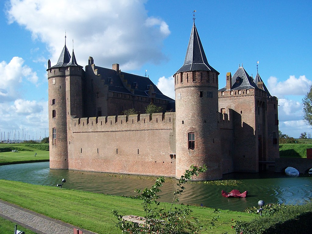
Muiderslot
|
||
| Date | |||
| Source | Own work | ||
| Author | ART | ||
| Permission (Reusing this file) |
PD-self |
| Object location | | View this and other nearby images on: OpenStreetMap |
|---|
| I, the copyright holder of this work, release this work into the public domain. This applies worldwide. In some countries this may not be legally possible; if so: I grant anyone the right to use this work for any purpose, without any conditions, unless such conditions are required by law. |
File history
Click on a date/time to view the file as it appeared at that time.
| Date/Time | Thumbnail | Dimensions | User | Comment | |
|---|---|---|---|---|---|
| current | 14:38, 28 September 2006 | | 1,656 × 1,242 (524 KB) | ART~commonswiki | {{Information |Description = Muiderslot |Source = own work |Date = 7 sept 2006 |Author = ART |Permission = PD |other_versions = }} |
File usage
The following page uses this file:
Global file usage
The following other wikis use this file:
- Usage on fa.wikipedia.org
- Usage on ru.wikipedia.org
- Usage on sl.wikipedia.org
You must be logged in to post a comment.