


No higher resolution available.
Ironjaw_Lake_Topo.jpg (732 × 525 pixels, file size: 293 KB, MIME type: image/jpeg)
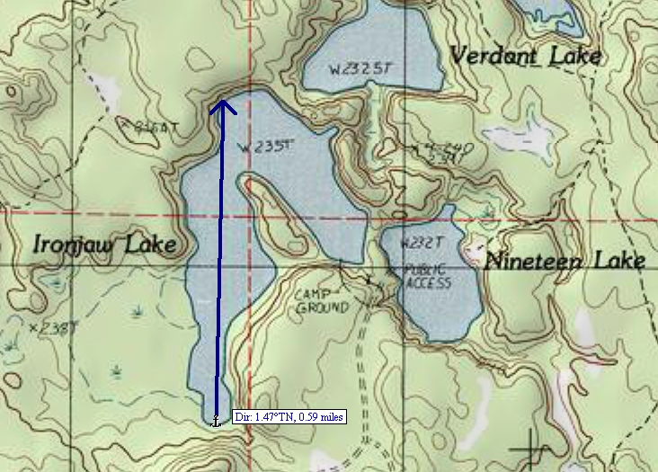
Summary
| Description |
English: A cropped portion of the USGS Corner Lake quadrangle topo map. 1982 version; current: 1985 |
| Date | |
| Source | USGS Quadrangle map for Corner Lake, MI version 1982; current as of 1985 |
| Author | USGS |
Licensing
This image is in the public domain in the United States because it only contains materials that originally came from the United States Geological Survey, an agency of the United States Department of the Interior. For more information, see the official USGS copyright policy.
|
File history
Click on a date/time to view the file as it appeared at that time.
| Date/Time | Thumbnail | Dimensions | User | Comment | |
|---|---|---|---|---|---|
| current | 22:27, 30 November 2008 | | 732 × 525 (293 KB) | MJCdetroit | {{Information |Description={{en|1=A cropped portion of the USGS Corner Lake quadrangle topo map. 1982 version; current: 1985}} |Source=USGS Quadrangle map for Corner Lake, MI version 1982; current as of 1985 |Author=USGS |Date=1982 |Permission= |other_ve |
File usage
The following 4 pages use this file:
You must be logged in to post a comment.