


Size of this preview: 664 × 600 pixels. Other resolutions: 266 × 240 pixels | 532 × 480 pixels | 1,000 × 903 pixels.
Original file (1,000 × 903 pixels, file size: 200 KB, MIME type: image/jpeg)
| Description |
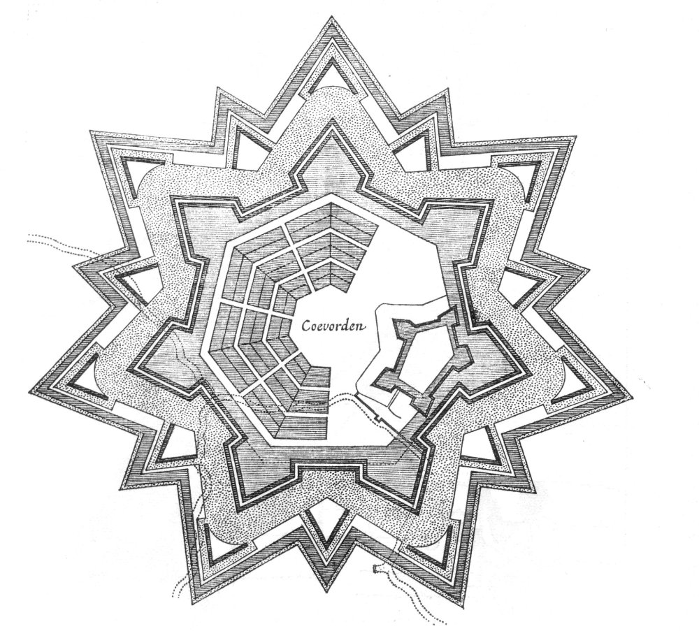
English: Plan of fortress coevorden in the netherlands Nederlands: 17e eeuwse prent, geen auteursrechten meer Deutsch: Karte der Festung Coevorden (1647) |
| Date | |
| Source | Own work |
| Creator | |
| Georeferencing | If inappropriate please set warp_status = skip to hide. |
|
This work is in the public domain in its country of origin and other countries and areas where the copyright term is the author's life plus 70 years or fewer. | |
| This file has been identified as being free of known restrictions under copyright law, including all related and neighboring rights. | |
File history
Click on a date/time to view the file as it appeared at that time.
| Date/Time | Thumbnail | Dimensions | User | Comment | |
|---|---|---|---|---|---|
| current | 10:30, 19 December 2004 | | 1,000 × 903 (200 KB) | Markus Schweiss | Plan of fortress coevorden in the netherlands, {{PD}} |
File usage
The following 4 pages use this file:
Global file usage
The following other wikis use this file:
- Usage on ar.wikipedia.org
- Usage on br.wikipedia.org
- Usage on de.wikipedia.org
- Usage on eo.wikipedia.org
- Usage on es.wikipedia.org
- Usage on fa.wikipedia.org
- Usage on fr.wikipedia.org
- Usage on ga.wikipedia.org
- Usage on hy.wikipedia.org
- Usage on id.wikipedia.org
- Usage on it.wikipedia.org
- Usage on ja.wikipedia.org
- Usage on nl.wikipedia.org
- Usage on nl.wikivoyage.org
- Usage on pl.wikipedia.org
- Usage on ro.wikipedia.org
- Usage on ru.wikipedia.org
- Usage on sv.wikipedia.org
- Usage on th.wikipedia.org
- Usage on tr.wikipedia.org
- Usage on uk.wikipedia.org
- Usage on www.wikidata.org
- Usage on zh.wikipedia.org
You must be logged in to post a comment.