


No higher resolution available.
Battle_Flat_-_geograph.org.uk_-_285158.jpg (640 × 479 pixels, file size: 45 KB, MIME type: image/jpeg)
Summary
| Description |
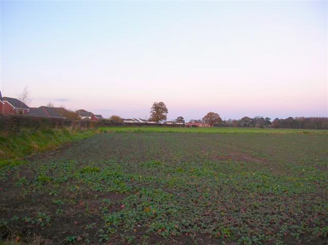
English: Battle Flat, Stamford Bridge, East Riding of Yorkshire, England. Here on 25th September 1066, Harold Godwinson claimed victory for the English over Harald Hardrade and the viking invaders at the Battle of Stamford Bridge. |
| Date | |
| Source | From geograph.org.uk |
| Author | DS Pugh |
| Permission (Reusing this file) |
Creative Commons Attribution Share-alike license 2.0 |
| Attribution (required by the license) | DS Pugh / Battle Flat / |
| Camera location | | View this and other nearby images on: OpenStreetMap |
|---|
_heading:0.00&language=en)
| Object location | | View this and other nearby images on: OpenStreetMap |
|---|
_heading:0.00&language=en)
Licensing

|
This image was taken from the Geograph project collection. See this photograph's page on the Geograph website for the photographer's contact details. The copyright on this image is owned by DS Pugh and is licensed for reuse under the Creative Commons Attribution-ShareAlike 2.0 license.
|
This file is licensed under the Creative Commons Attribution-Share Alike 2.0 Generic license.
Attribution: DS Pugh
- You are free:
- to share – to copy, distribute and transmit the work
- to remix – to adapt the work
- Under the following conditions:
- attribution – You must give appropriate credit, provide a link to the license, and indicate if changes were made. You may do so in any reasonable manner, but not in any way that suggests the licensor endorses you or your use.
- share alike – If you remix, transform, or build upon the material, you must distribute your contributions under the same or compatible license as the original.
File history
Click on a date/time to view the file as it appeared at that time.
| Date/Time | Thumbnail | Dimensions | User | Comment | |
|---|---|---|---|---|---|
| current | 12:38, 14 October 2017 | | 640 × 479 (45 KB) | Soerfm | Brightness |
| 18:54, 14 December 2010 |  | 640 × 479 (40 KB) | GeographBot | == {{int:filedesc}} == {{Information |description={{en|1=Battle Flat Here on 25th September 1066, Harold Godwinson claimed victory for the English over Harald Hardrade and the viking invaders at the Battle of Stamford Bridge.}} |date=2006-11-26 |source=Fr |
File usage
The following 3 pages use this file:
Global file usage
The following other wikis use this file:
- Usage on azb.wikipedia.org
- Usage on ca.wikipedia.org
- Usage on da.wikipedia.org
- Usage on fa.wikipedia.org
- Usage on fr.wikipedia.org
- Usage on ga.wikipedia.org
- Usage on hu.wikipedia.org
- Usage on id.wikipedia.org
- Usage on ja.wikipedia.org
- Usage on ko.wikipedia.org
- Usage on pt.wikipedia.org
- Usage on ru.wikipedia.org
- Usage on sk.wikipedia.org
- Usage on sv.wikipedia.org
- Usage on tr.wikipedia.org
You must be logged in to post a comment.