


Size of this preview: 800 × 600 pixels. Other resolutions: 320 × 240 pixels | 640 × 480 pixels | 1,024 × 768 pixels | 1,280 × 960 pixels | 2,592 × 1,944 pixels.
Original file (2,592 × 1,944 pixels, file size: 1.11 MB, MIME type: image/jpeg)
Summary
| Camera location | | View this and other nearby images on: OpenStreetMap |
|---|
Licensing
| I, the copyright holder of this work, release this work into the public domain. This applies worldwide. In some countries this may not be legally possible; if so: I grant anyone the right to use this work for any purpose, without any conditions, unless such conditions are required by law. |
File history
Click on a date/time to view the file as it appeared at that time.
| Date/Time | Thumbnail | Dimensions | User | Comment | |
|---|---|---|---|---|---|
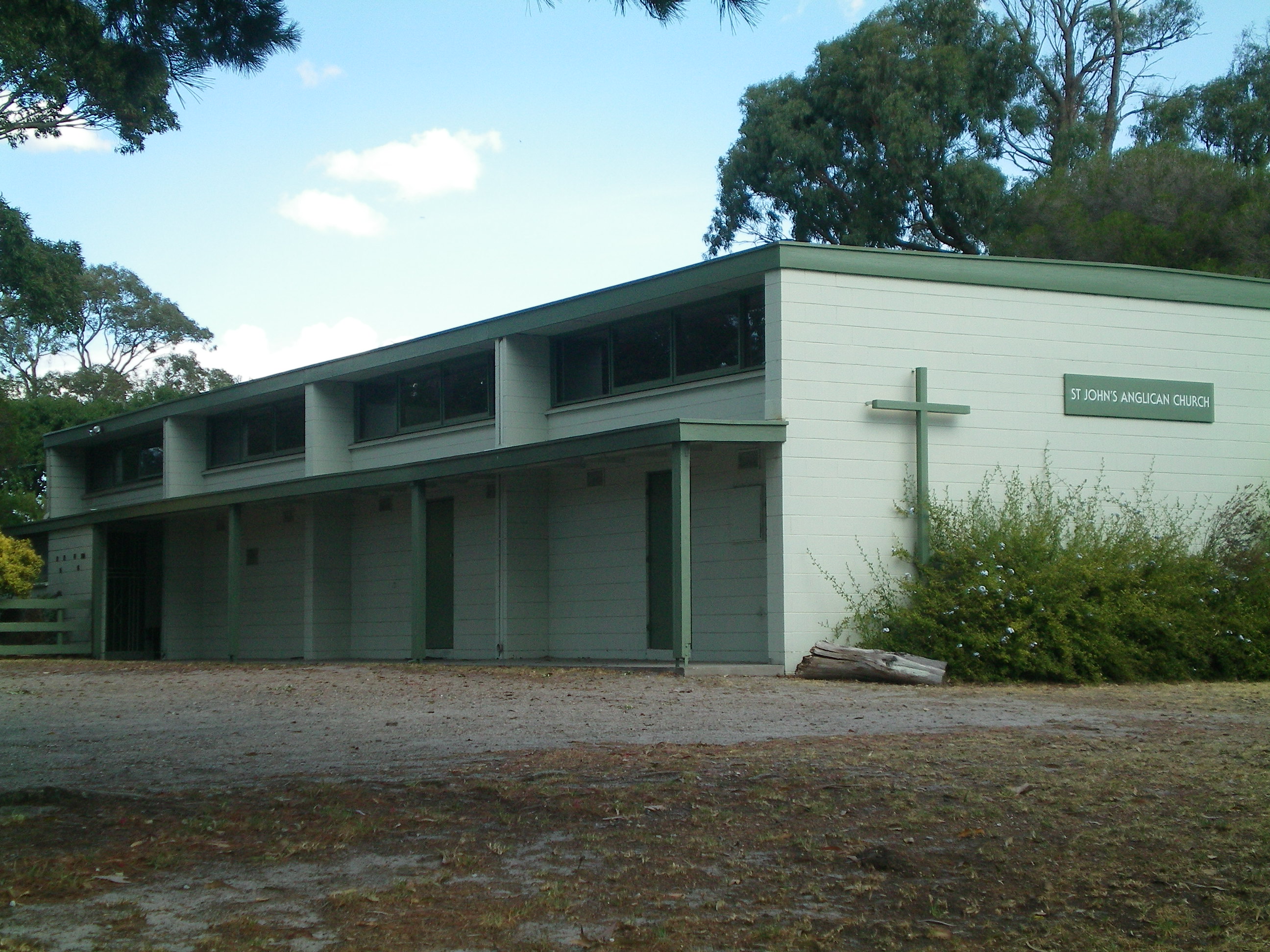
| current | 11:07, 16 February 2009 | | 2,592 × 1,944 (1.11 MB) | Ottre | {{Information |Description={{en|1=St. John's Anglican Church, Frankston, Victoria.}} |Source=Own work by uploader |Author=Ottre |Date= |Permission= |other_versions= }} <!--{{ImageUploa |
File usage
The following page uses this file:
You must be logged in to post a comment.