


File:William Faden. Composite Mediterranean. 1785.I.jpg

Size of this preview: 537 × 599 pixels. Other resolutions: 215 × 240 pixels | 430 × 480 pixels | 689 × 768 pixels | 918 × 1,024 pixels | 1,968 × 2,195 pixels.
Original file (1,968 × 2,195 pixels, file size: 1.2 MB, MIME type: image/jpeg)
|
|
|


Summary
| Description |
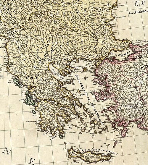
English: (Composite of) A map of the Mediterranean Sea with the adjacent regions and seas in Europe, Asia and Africa. By William Faden, Geographer to the King. London, printed for Wm. Faden, Charing Cross, March 1st, 1785. |
||||||||||||||||||||||
| Date | |||||||||||||||||||||||
| Source |
|
||||||||||||||||||||||
| Author |
|
||||||||||||||||||||||
| Other versions |
|
||||||||||||||||||||||


Licensing
|
This is a faithful photographic reproduction of a two-dimensional, public domain work of art. The work of art itself is in the public domain for the following reason:
The official position taken by the Wikimedia Foundation is that "faithful reproductions of two-dimensional public domain works of art are public domain".
This photographic reproduction is therefore also considered to be in the public domain in the United States. In other jurisdictions, re-use of this content may be restricted; see Reuse of PD-Art photographs for details. | ||||
File history
Click on a date/time to view the file as it appeared at that time.
| Date/Time | Thumbnail | Dimensions | User | Comment | |
|---|---|---|---|---|---|
| current | 10:09, 3 January 2011 | | 1,968 × 2,195 (1.2 MB) | Geagea |
File usage
The following 5 pages use this file:
Global file usage
The following other wikis use this file:
- Usage on ar.wikipedia.org
- Usage on arz.wikipedia.org
- Usage on az.wikipedia.org
- Usage on be.wikipedia.org
- Старажытная Грэцыя
- Гісторыя Грэцыі
- Шаблон:Гісторыя Грэцыі
- Эгейская культура
- Старажытнагрэчаская літаратура
- Класічная Грэцыя
- Мінойская цывілізацыя
- Кікладская культура
- Мікенская цывілізацыя
- Рэжым палкоўнікаў
- Каралеўства Грэцыя
- Вайна за незалежнасць Грэцыі
- Рымская Грэцыя
- Эліністычная Грэцыя
- Дагістарычная Грэцыя
- Заходнеанаталійская цывілізацыя
- Эладская цывілізацыя
- Грэчаскія Цёмныя стагоддзі
- Архаічная Грэцыя
- Візантыйская Грэцыя
- Франкакратыя
- Асманская Грэцыя
- Гісторыя сучаснай Грэцыі
- Usage on bn.wikipedia.org
- Usage on ca.wikipedia.org
- Antiga Grècia
- Grècia
- Règim del 4 d'agost
- Civilització micènica
- Plantilla:Grècia
- Període hel·lenístic
- Grècia hel·lenística
- Categoria:Història de Grècia
- Civilització minoica
- Civilització egea
- Edat fosca grega
- Grècia romana
- Guerra Civil grega
- Dictadura dels Coronels (1967-1974)
- Regne de Grècia
- Guerra d'independència de Grècia
View more global usage of this file.