


Size of this preview: 781 × 600 pixels. Other resolutions: 313 × 240 pixels | 625 × 480 pixels | 1,000 × 768 pixels | 1,280 × 983 pixels | 2,222 × 1,706 pixels.
Original file (2,222 × 1,706 pixels, file size: 484 KB, MIME type: image/jpeg)
Summary
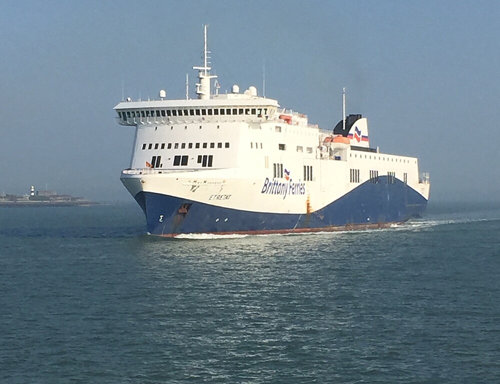
| Description |
English: The Brittany Ferries ship Etretat seen coming into port at Portsmouth. Taken from a Wightlink catamaran. |
| Date | |
| Source | Own work |
| Author | TheMagikCow |
| Camera location | | View this and other nearby images on: OpenStreetMap |
|---|
Licensing
I, the copyright holder of this work, hereby publish it under the following license:
This file is licensed under the Creative Commons Attribution 4.0 International license.
- You are free:
- to share – to copy, distribute and transmit the work
- to remix – to adapt the work
- Under the following conditions:
- attribution – You must give appropriate credit, provide a link to the license, and indicate if changes were made. You may do so in any reasonable manner, but not in any way that suggests the licensor endorses you or your use.
File history
Click on a date/time to view the file as it appeared at that time.
| Date/Time | Thumbnail | Dimensions | User | Comment | |
|---|---|---|---|---|---|
| current | 22:54, 29 December 2022 | | 2,222 × 1,706 (484 KB) | Ww2censor | Straighten by cropping 4 % horizontally, 7 % vertically, rotated 3.2° using CropTool with precise mode. |
| 06:24, 8 April 2017 |  | 2,321 × 1,834 (481 KB) | TheMagikCow | User created page with UploadWizard |
File usage
The following page uses this file:
You must be logged in to post a comment.