


Size of this preview: 800 × 526 pixels. Other resolutions: 320 × 210 pixels | 640 × 420 pixels | 1,024 × 673 pixels | 1,280 × 841 pixels | 2,560 × 1,682 pixels | 5,657 × 3,716 pixels.
Original file (5,657 × 3,716 pixels, file size: 10.41 MB, MIME type: image/jpeg)
Summary
| Description |
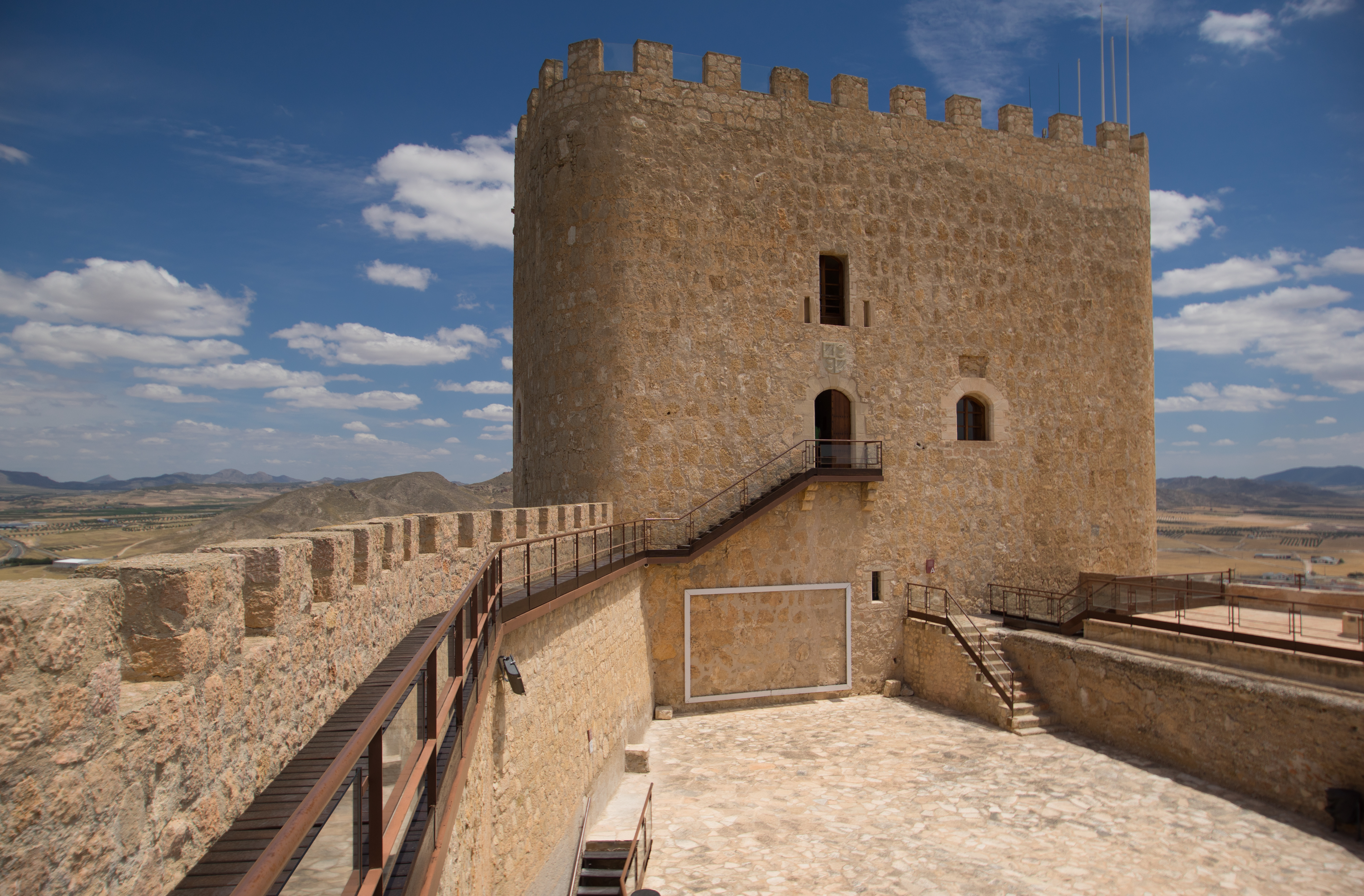
Español: Torre principal del Castillo de Jumilla
English: Main Tower. Jumiilla Castle |
| Date | |
| Source | Own work |
| Author | Pedro J Pacheco |
| OpenStreetMap | Node 2432134092 |
| Object location | | View this and other nearby images on: OpenStreetMap |
|---|
| Camera location | | View this and other nearby images on: OpenStreetMap |
|---|
Licensing
I, the copyright holder of this work, hereby publish it under the following license:
This file is licensed under the Creative Commons Attribution-Share Alike 4.0 International license.
- You are free:
- to share – to copy, distribute and transmit the work
- to remix – to adapt the work
- Under the following conditions:
- attribution – You must give appropriate credit, provide a link to the license, and indicate if changes were made. You may do so in any reasonable manner, but not in any way that suggests the licensor endorses you or your use.
- share alike – If you remix, transform, or build upon the material, you must distribute your contributions under the same or compatible license as the original.
File history
Click on a date/time to view the file as it appeared at that time.
| Date/Time | Thumbnail | Dimensions | User | Comment | |
|---|---|---|---|---|---|
| current | 18:42, 16 November 2016 | | 5,657 × 3,716 (10.41 MB) | Pedro J Pacheco | User created page with UploadWizard |
File usage
The following page uses this file:
Global file usage
The following other wikis use this file:
- Usage on de.wikipedia.org
- Usage on eo.wikipedia.org
- Usage on es.wikipedia.org
You must be logged in to post a comment.