


Size of this preview: 800 × 568 pixels. Other resolutions: 320 × 227 pixels | 640 × 454 pixels | 1,024 × 727 pixels | 1,280 × 909 pixels | 2,560 × 1,818 pixels | 3,755 × 2,666 pixels.
Original file (3,755 × 2,666 pixels, file size: 1.13 MB, MIME type: image/jpeg)
Summary
| Description |
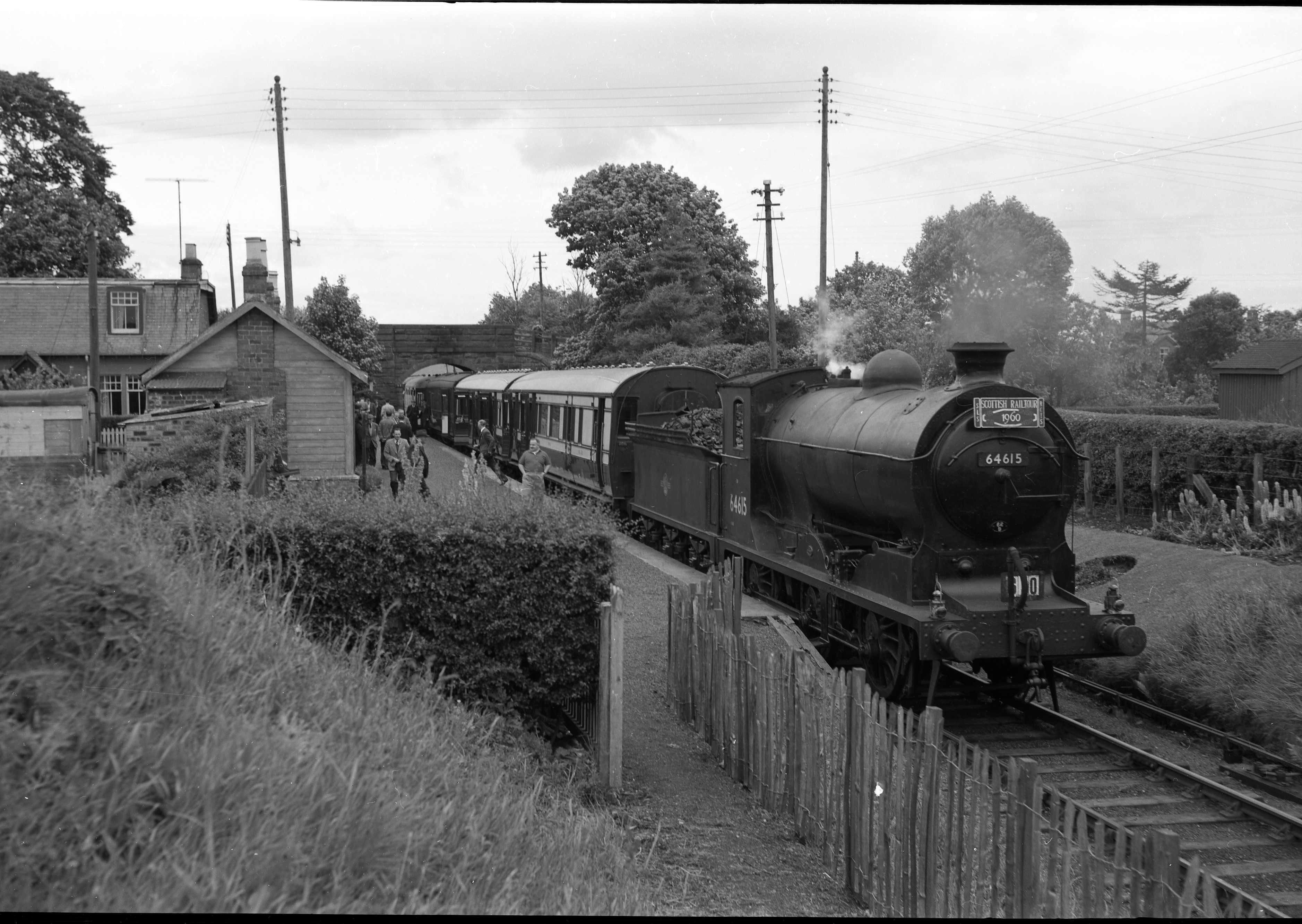
English: St Cyrus railway station with Scottish Railtour in 1960 |
| Date | |
| Source | E mail sent by author |
| Author | Stuart Sellar |
| Permission (Reusing this file) |
|
| OpenStreetMap | Way 1079120549 |
| Object location | | View this and other nearby images on: OpenStreetMap |
|---|
Licensing
This file is licensed under the Creative Commons Attribution-Share Alike 3.0 Unported license.
- You are free:
- to share – to copy, distribute and transmit the work
- to remix – to adapt the work
- Under the following conditions:
- attribution – You must give appropriate credit, provide a link to the license, and indicate if changes were made. You may do so in any reasonable manner, but not in any way that suggests the licensor endorses you or your use.
- share alike – If you remix, transform, or build upon the material, you must distribute your contributions under the same or compatible license as the original.
File history
Click on a date/time to view the file as it appeared at that time.
| Date/Time | Thumbnail | Dimensions | User | Comment | |
|---|---|---|---|---|---|
| current | 14:33, 27 August 2012 | | 3,755 × 2,666 (1.13 MB) | Alanyoung2154 | User created page with UploadWizard |
File usage
The following page uses this file:
Global file usage
The following other wikis use this file:
- Usage on www.wikidata.org
You must be logged in to post a comment.