


Size of this preview: 800 × 534 pixels. Other resolutions: 320 × 214 pixels | 640 × 427 pixels | 1,024 × 683 pixels | 1,280 × 854 pixels | 2,560 × 1,708 pixels | 3,776 × 2,520 pixels.
Original file (3,776 × 2,520 pixels, file size: 4.02 MB, MIME type: image/jpeg)
Summary
| Description |
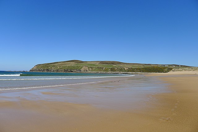
English: Bay at Melvich in Scotland |
| Date | |
| Source | https://www.geograph.org.uk/photo/6204439 |
| Author | Tim Heaton |
| Permission (Reusing this file) |
https://www.geograph.org.uk/photo/6204439 |
| Attribution (required by the license) | Tim Heaton / Melvich Bay / |
| Camera location | | View this and other nearby images on: OpenStreetMap |
|---|
_region:GB-GBN_heading:90.00&language=en)
| Object location | | View this and other nearby images on: OpenStreetMap |
|---|
_region:GB-GBN_heading:90.00&language=en)
Licensing

|
This image was taken from the Geograph project collection. See this photograph's page on the Geograph website for the photographer's contact details. The copyright on this image is owned by Tim Heaton and is licensed for reuse under the Creative Commons Attribution-ShareAlike 2.0 license.
|
This file is licensed under the Creative Commons Attribution-Share Alike 2.0 Generic license.
Attribution: Tim Heaton
- You are free:
- to share – to copy, distribute and transmit the work
- to remix – to adapt the work
- Under the following conditions:
- attribution – You must give appropriate credit, provide a link to the license, and indicate if changes were made. You may do so in any reasonable manner, but not in any way that suggests the licensor endorses you or your use.
- share alike – If you remix, transform, or build upon the material, you must distribute your contributions under the same or compatible license as the original.
This file, which was originally posted to
https://www.geograph.org.uk/photo/6204439, was reviewed on 22 July 2020 by reviewer 廣九直通車, who confirmed that it was available there under the stated license on that date.
|
File history
Click on a date/time to view the file as it appeared at that time.
| Date/Time | Thumbnail | Dimensions | User | Comment | |
|---|---|---|---|---|---|
| current | 05:41, 29 September 2019 | | 3,776 × 2,520 (4.02 MB) | Geograph Update Bot | Higher-resolution version from Geograph. |
| 20:12, 23 September 2019 |  | 1,024 × 683 (107 KB) | Scope creep | Uploading a file from a free published source using File Upload Wizard |
File usage
The following page uses this file:
You must be logged in to post a comment.