


No higher resolution available.
Iran-Pakistan-India.JPG (358 × 316 pixels, file size: 32 KB, MIME type: image/jpeg)

|
This map image could be re-created using vector graphics as an SVG file. This has several advantages; see Commons:Media for cleanup for more information. If an SVG form of this image is available, please upload it and afterwards replace this template with
{{vector version available|new image name}}.
It is recommended to name the SVG file “Iran-Pakistan-India.svg”—then the template Vector version available (or Vva) does not need the new image name parameter. |
Summary
| Description |
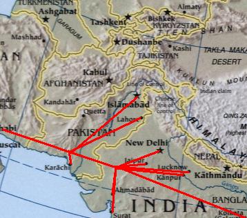
English: Modified :Image:Sino-Indian Geography.png, created and published by the Central Intelligence Agency of the United States of America in 2004. The modified version was released by Deepak Gupta under Public Domain.
فارسی: *برگرفته از ویکی پدیای انگلیسی [1] |
| Date | 16 March 2007 (original upload date) |
| Source | Transferred from en.wikipedia to Commons by User:RaviC using CommonsHelper. |
| Author | Deepak at en.wikipedia |
![[1]](https://en.wikipedia.org/wiki/Image:Iran-Pakistan-India.JPG)
Licensing
| This work has been released into the public domain by its author, Deepak at English Wikipedia. This applies worldwide. In some countries this may not be legally possible; if so: Deepak grants anyone the right to use this work for any purpose, without any conditions, unless such conditions are required by law. |
Original upload log
The original description page was here. All following user names refer to en.wikipedia.
- 2007-03-16 10:12 Deepak 358×316× (32721 bytes) <small>Modified [[:Image:Sino-Indian Geography.png]], created and published by the [[Central Intelligence Agency]] of the [[United States of America]] in 2004. The modified version was released by [[User:Deepak gupta|Deepak Gupta]] under Public Domain.</s
File history
Click on a date/time to view the file as it appeared at that time.
| Date/Time | Thumbnail | Dimensions | User | Comment | |
|---|---|---|---|---|---|
| current | 22:13, 12 November 2008 | | 358 × 316 (32 KB) | File Upload Bot (Magnus Manske) | {{BotMoveToCommons|en.wikipedia}} {{Information |Description={{en|<small>Modified [[:en::Image:Sino-Indian Geography.png]], created and published by the en:Central Intelligence Agency of the en:United States of America in 2004. The modified ver |
File usage
The following 2 pages use this file:
Global file usage
The following other wikis use this file:
- Usage on ar.wikipedia.org
- Usage on bn.wikipedia.org
- Usage on fa.wikipedia.org
- Usage on fr.wikipedia.org
- Usage on pnb.wikipedia.org
- Usage on ta.wikipedia.org
- Usage on uk.wikipedia.org
- Usage on ur.wikipedia.org
You must be logged in to post a comment.