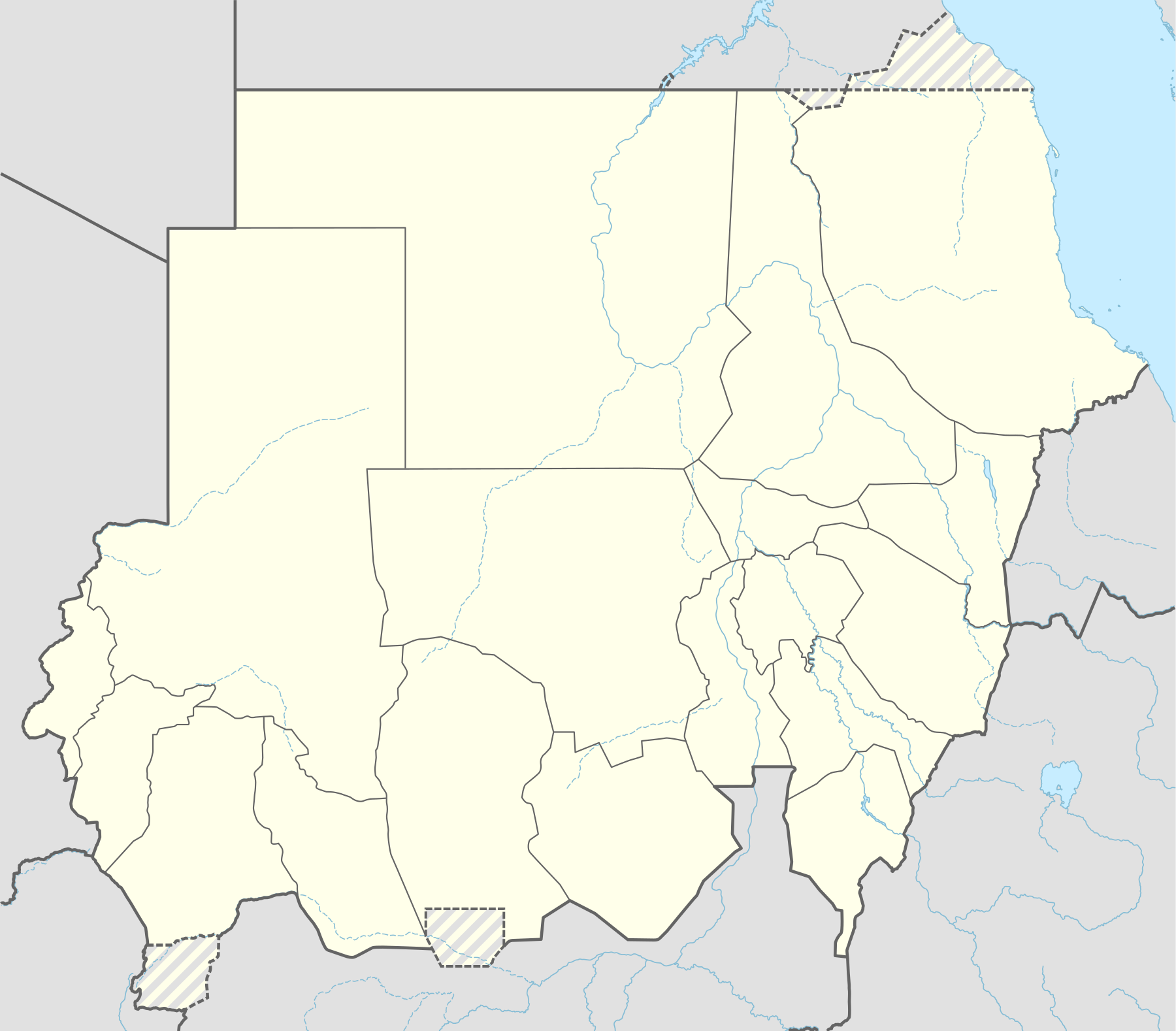
El Fao
El Hawata
Wadega
Deleig
Nertiti
Um Dukhun
Abu Karinka
Adila
Al-Firdous
Sheiria
Al Hasaheisa
Wad el-Haddad
Tina
Umbro
Ayn Siro
Korma
Ailliet
Haskanitah
Al Maliha
Osman Digna Port
Port of Sudan
El Suki
Mazmoum
Wad an-Nail
Umm Shawkah
Buram
Kas
Menawashie
Rahad al-Bardi
Tullus
Abassia
Abu Jubayhah
Al-Takmah
Sungikai
Kau
Kau
Dumej
Dumej
Abu Zabad
Al-Khiwai
Ghubaysh
Wad Banda
Lagawa
Baleela Airport
Baleela oilfield
Kulshabi oilfield
Moga oilfield
Keyi oilfield
Hold cursor over location to display name; click to go to sources &/or status description (if available, the cursor will show as  ; if not, it will show as
  ).
).
Small icon within a larger icon: The situation in individual neighbourhood/district
 Under control of the Sudanese Armed Forces
 Under control of the Rapid Support Forces
 Under control of the Sudan People's Liberation Movement–North (al-Hilu)
 Under control of the Sudan Liberation Movement (al-Nur)
 Under control of the South Sudan People's Defence Forces
Contested
 Sudanese Armed Forces - Rapid Support Forces
 Sudanese Armed Forces - Sudan People's Liberation Movement–North (al-Hilu)
 Rapid Support Forces - Sudan People's Liberation Movement–North (al-Hilu)
Other


 Army base

 Airport or air base (jet)

 Airport or air base (helicopter)

 Oil field and terminal
 Major port, naval base
 Border post
 Dam
Dam Industrial complex or oilfield
 Rural presence
Inner controls, outer sieges (or strong enemy pressure) : ![]()
![]()
![]()
Small icon within a larger icon: The situation in individual neighbourhood/district
Usage
How war map template works with other parts of Wikipedia


You must be logged in to post a comment.