


Size of this preview: 677 × 599 pixels. Other resolutions: 271 × 240 pixels | 542 × 480 pixels | 811 × 718 pixels.
Original file (811 × 718 pixels, file size: 1,010 KB, MIME type: image/png)
| Description |
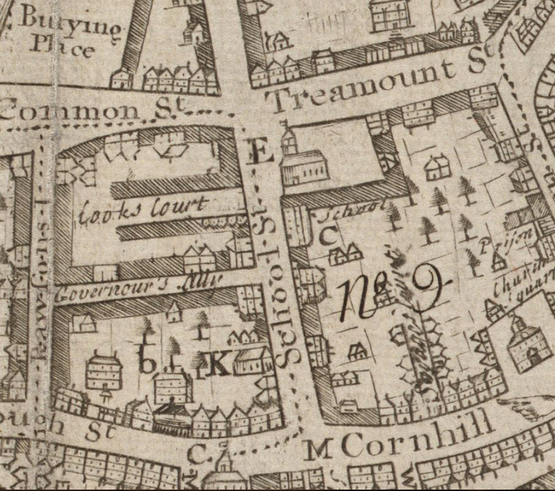
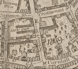
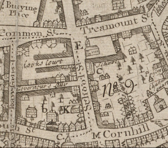
English: Detail of 1743 map of Boston by William Price, showing School Street and vicinity. |
| Date | |
| Source | http://maps.bpl.org/details_10913/?dl_pp=1&mtid=5 |
| Author | Price |
|
This work is in the public domain in its country of origin and other countries and areas where the copyright term is the author's life plus 100 years or fewer. | |
| This file has been identified as being free of known restrictions under copyright law, including all related and neighboring rights. | |
File history
Click on a date/time to view the file as it appeared at that time.
| Date/Time | Thumbnail | Dimensions | User | Comment | |
|---|---|---|---|---|---|
| current | 15:45, 18 October 2009 | | 811 × 718 (1,010 KB) | M2545 | {{Information |Description={{en|1=Detail of 1743 map of Boston by William Price, showing School Street and vicinity.}} |Source=http://maps.bpl.org/details_10913/?dl_pp=1&mtid=5 |Author=Price |Date=1743 |Permission= |other_versions= }} [[Category:Old maps |
File usage
The following page uses this file:
You must be logged in to post a comment.