


No higher resolution available.
Gunterafb-al-17feb1950.jpg (468 × 510 pixels, file size: 65 KB, MIME type: image/jpeg)
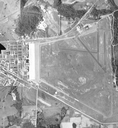
Summary
| Description | Gunter AFB, Alabama |
| Date | |
| Source | US Geological Survey http://alabamamaps.ua.edu/aerials/Counties/Montgomery/Montgomery_Gunter_Air_Force_Base_1950.html |
| Author | USGS |
| Permission (Reusing this file) |
USGOV-PD |
Licensing
This image is in the public domain in the United States because it only contains materials that originally came from the United States Geological Survey, an agency of the United States Department of the Interior. For more information, see the official USGS copyright policy.
|
File history
Click on a date/time to view the file as it appeared at that time.
| Date/Time | Thumbnail | Dimensions | User | Comment | |
|---|---|---|---|---|---|
| current | 20:54, 21 May 2008 | | 468 × 510 (65 KB) | Bwmoll3 | {{Information |Description=Gunter AFB, Alabama |Source=US Geological Survey http://alabamamaps.ua.edu/aerials/Counties/Montgomery/Montgomery_Gunter_Air_Force_Base_1950.html |Date=17 Febuary 1950 |Author=USGS |Permission=USGOV-PD |other_versions= }} |
File usage
The following page uses this file:
You must be logged in to post a comment.