


No higher resolution available.
Dunelm_Care_Home_-_geograph.org.uk_-_1633365.jpg (640 × 427 pixels, file size: 188 KB, MIME type: image/jpeg)
Summary
| Description |
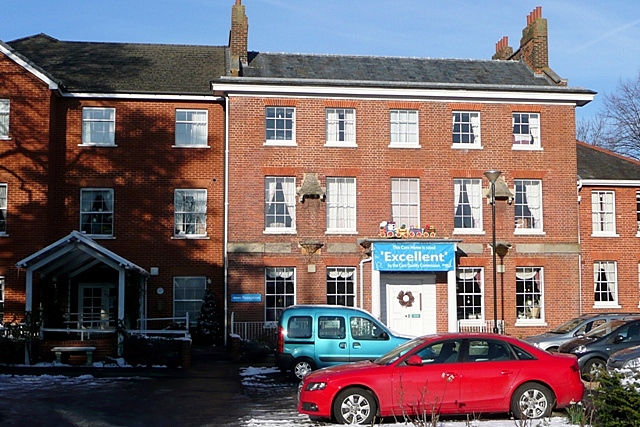
English: Brunswick House on Bath Road in West Reading. The home of Reading Blue Coat School from 1852 to 1947, this large Georgian house is now the Dunelm Care Home, a care home for the elderly. For a close up of the front door see Excellent care home - geograph.org.uk - 1633366.jpg. For more information on the Reading Blue Coat School, see Wikipedia article Reading Blue Coat School. |
| Date | |
| Source | From geograph.org.uk |
| Author | Graham Horn |
| Attribution (required by the license) | Graham Horn / Dunelm Care Home / |
| Camera location | | View this and other nearby images on: OpenStreetMap |
|---|
_heading:0.00&language=en)
| Object location | | View this and other nearby images on: OpenStreetMap |
|---|
_heading:0.00&language=en)
Licensing

|
This image was taken from the Geograph project collection. See this photograph's page on the Geograph website for the photographer's contact details. The copyright on this image is owned by Graham Horn and is licensed for reuse under the Creative Commons Attribution-ShareAlike 2.0 license.
|
This file is licensed under the Creative Commons Attribution-Share Alike 2.0 Generic license.
Attribution: Graham Horn
- You are free:
- to share – to copy, distribute and transmit the work
- to remix – to adapt the work
- Under the following conditions:
- attribution – You must give appropriate credit, provide a link to the license, and indicate if changes were made. You may do so in any reasonable manner, but not in any way that suggests the licensor endorses you or your use.
- share alike – If you remix, transform, or build upon the material, you must distribute your contributions under the same or compatible license as the original.
File history
Click on a date/time to view the file as it appeared at that time.
| Date/Time | Thumbnail | Dimensions | User | Comment | |
|---|---|---|---|---|---|
| current | 16:23, 4 March 2011 | | 640 × 427 (188 KB) | GeographBot | == {{int:filedesc}} == {{Information |description={{en|1=Dunelm Care Home Typical reuse of a large Georgian house on Bath Road as a care home for the elderly. For a close up of the front door see [1633366].}} |date=2009-12-19 |source=From [http://www |
File usage
The following page uses this file:
You must be logged in to post a comment.