


No higher resolution available.
Cloghan_jetty,_Belfast_Lough_-_geograph.org.uk_-_172672.jpg (640 × 426 pixels, file size: 126 KB, MIME type: image/jpeg)
Summary
| Description |
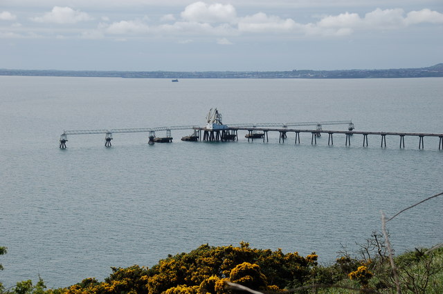
English: Cloghan jetty, Belfast Lough. Cloghan jetty and the nearby Kilroot power station were planned and built during the early 1970's. The jetty was for use by oil tankers. The great oil crisis caused a change of plan and the station, now dual oil and coal-fired, uses mainly coal transshipped from Hunterston on the Clyde. The jetty is now used infrequently. |
| Date | |
| Source | From geograph.org.uk |
| Author | Aubrey Dale |
| Camera location | | View this and other nearby images on: OpenStreetMap |
|---|
_heading:157.00&language=en)
| Object location | | View this and other nearby images on: OpenStreetMap |
|---|
_heading:157.00&language=en)
Licensing

|
This image was taken from the Geograph project collection. See this photograph's page on the Geograph website for the photographer's contact details. The copyright on this image is owned by Aubrey Dale and is licensed for reuse under the Creative Commons Attribution-ShareAlike 2.0 license.
|
This file is licensed under the Creative Commons Attribution-Share Alike 2.0 Generic license.
Attribution: Aubrey Dale
- You are free:
- to share – to copy, distribute and transmit the work
- to remix – to adapt the work
- Under the following conditions:
- attribution – You must give appropriate credit, provide a link to the license, and indicate if changes were made. You may do so in any reasonable manner, but not in any way that suggests the licensor endorses you or your use.
- share alike – If you remix, transform, or build upon the material, you must distribute your contributions under the same or compatible license as the original.
File history
Click on a date/time to view the file as it appeared at that time.
| Date/Time | Thumbnail | Dimensions | User | Comment | |
|---|---|---|---|---|---|
| current | 13:31, 31 January 2010 | | 640 × 426 (126 KB) | GeographBot | == {{int:filedesc}} == {{Information |description={{en|1=Cloghan jetty, Belfast Lough. Cloghan jetty and the nearby Kilroot power station were planned and built during the early 1970's. The jetty was for use by oil tankers. The great oil crisis caused a |
File usage
The following 2 pages use this file:
Global file usage
The following other wikis use this file:
- Usage on no.wikipedia.org
You must be logged in to post a comment.