


No higher resolution available.
United_States_-_Rhatsa26X-2011.png (800 × 579 pixels, file size: 34 KB, MIME type: image/png)
Summary
| Description |
Updated Map showing changes as of the end of 2011 |
|---|---|
| Source | |
| Date |
15:10, 30 September 2010 (UTC) |
| Author | |
| Permission (Reusing this file) |
See below.
|
Licensing
File history
Click on a date/time to view the file as it appeared at that time.
| Date/Time | Thumbnail | Dimensions | User | Comment | |
|---|---|---|---|---|---|
| current | 04:11, 17 July 2021 | | 800 × 579 (34 KB) | Rhatsa26X (talk | contribs) | Added Ohio to states I've been through |
| 04:05, 17 July 2021 |  | 800 × 579 (32 KB) | Rhatsa26X (talk | contribs) | Added Ohio to states I've been through | |
| 03:19, 6 July 2013 | 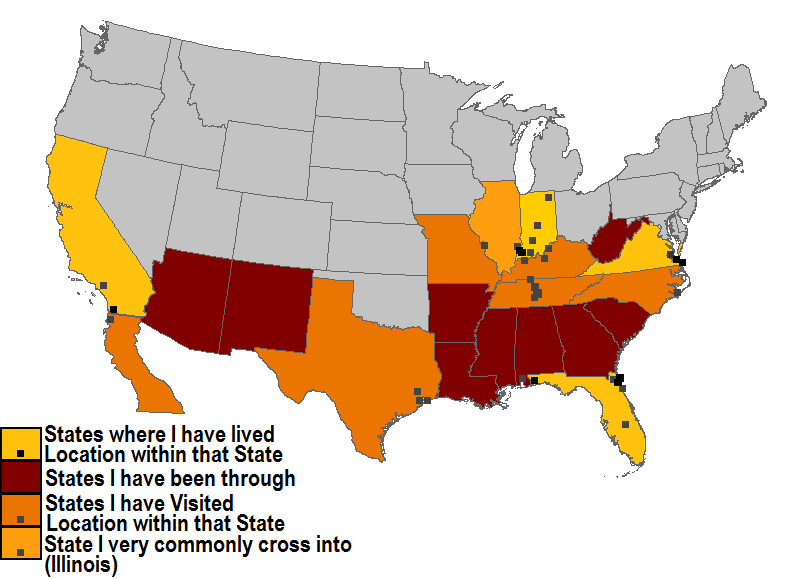 | 800 × 579 (32 KB) | Rhatsa26X (talk | contribs) | Added Baja California Norte, changed Tennessee from potential moving destination to just a travel destination. | |
| 15:10, 30 September 2010 |  | 800 × 540 (34 KB) | Rhatsa26X (talk | contribs) | {{Information |Description = Updated Map showing changes as of the end of 2011 |Source = I (~~~) created this work entirely by myself. |Date = ~~~~~ |Author = ~~~ |other_versions = }} |
You cannot overwrite this file.
File usage
The following page uses this file: