


No higher resolution available.
River_Meon_at_East_Meon_-_geograph.org.uk_-_425106.jpg (640 × 480 pixels, file size: 106 KB, MIME type: image/jpeg)
Summary
| Description |
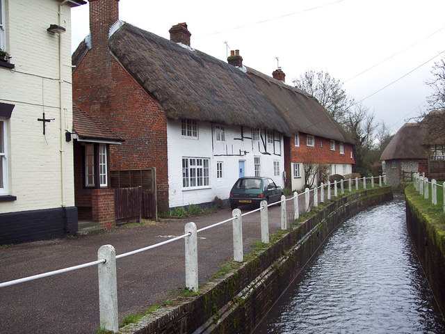
English: River Meon at East Meon The River Meon is only 21 miles long from is source (a series of springs at South Farm) south of the village of East Meon to its mouth at Titchfield Haven. |
| Date | |
| Source | From geograph.org.uk |
| Author | Trish Steel |
| Camera location | | View this and other nearby images on: OpenStreetMap |
|---|
_heading:90.00&language=en)
| Object location | | View this and other nearby images on: OpenStreetMap |
|---|
_heading:90.00&language=en)
Licensing

|
This image was taken from the Geograph project collection. See this photograph's page on the Geograph website for the photographer's contact details. The copyright on this image is owned by Trish Steel and is licensed for reuse under the Creative Commons Attribution-ShareAlike 2.0 license.
|
This file is licensed under the Creative Commons Attribution-Share Alike 2.0 Generic license.
Attribution: Trish Steel
- You are free:
- to share – to copy, distribute and transmit the work
- to remix – to adapt the work
- Under the following conditions:
- attribution – You must give appropriate credit, provide a link to the license, and indicate if changes were made. You may do so in any reasonable manner, but not in any way that suggests the licensor endorses you or your use.
- share alike – If you remix, transform, or build upon the material, you must distribute your contributions under the same or compatible license as the original.
File history
Click on a date/time to view the file as it appeared at that time.
| Date/Time | Thumbnail | Dimensions | User | Comment | |
|---|---|---|---|---|---|
| current | 05:20, 4 February 2011 | | 640 × 480 (106 KB) | GeographBot | == {{int:filedesc}} == {{Information |description={{en|1=River Meon at East Meon The River Meon is only 21 miles long from is source (a series of springs at South Farm) south of the village of East Meon to its mouth at Titchfield Haven.}} |date=2007-02-23 |
File usage
The following page uses this file:
Global file usage
The following other wikis use this file:
- Usage on br.wikipedia.org
- Usage on ceb.wikipedia.org
- Usage on fr.wikipedia.org
- Usage on www.wikidata.org