


Size of this preview: 800 × 600 pixels. Other resolutions: 320 × 240 pixels | 640 × 480 pixels | 1,024 × 768 pixels | 1,280 × 960 pixels | 2,560 × 1,920 pixels | 4,624 × 3,468 pixels.
Original file (4,624 × 3,468 pixels, file size: 4.78 MB, MIME type: image/jpeg)
Summary
| Description |
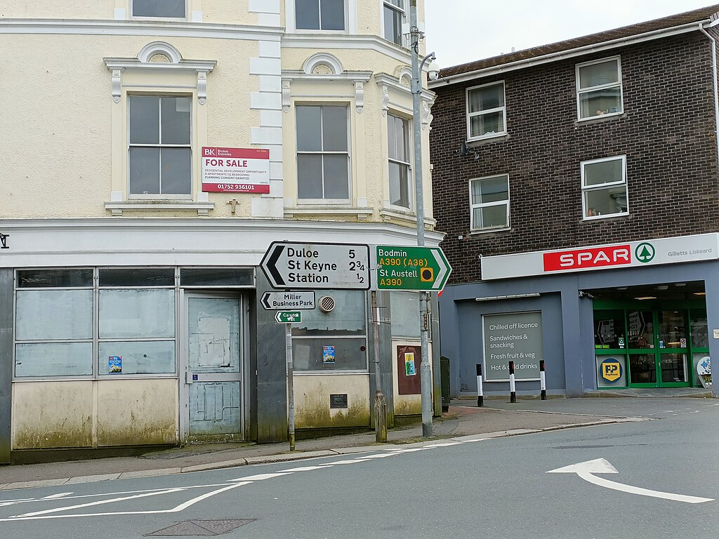
English: A road sign incorrectly identifying a road in Liskeard, Cornwall as the A390. The road is now the B3254. |
| Date | |
| Source | Own work |
| Author | Oxfordmale |
| Camera location | | View this and other nearby images on: OpenStreetMap |
|---|
Licensing
I, the copyright holder of this work, hereby publish it under the following license:
| This file is made available under the Creative Commons CC0 1.0 Universal Public Domain Dedication. | |
| The person who associated a work with this deed has dedicated the work to the public domain by waiving all of their rights to the work worldwide under copyright law, including all related and neighboring rights, to the extent allowed by law. You can copy, modify, distribute and perform the work, even for commercial purposes, all without asking permission.
|
File history
Click on a date/time to view the file as it appeared at that time.
| Date/Time | Thumbnail | Dimensions | User | Comment | |
|---|---|---|---|---|---|
| current | 16:32, 23 March 2024 | | 4,624 × 3,468 (4.78 MB) | Oxfordmale | Uploaded own work with UploadWizard |
File usage
The following page uses this file: