


No higher resolution available.
IL07_109.gif (692 × 379 pixels, file size: 33 KB, MIME type: image/gif)
Summary
| Description |
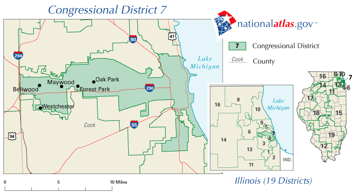
English: Congressional district map of Illinois: Illinois's 7th congressional district. |
| Date | |
| Source | nationalatlas.gov |
| Author | Musicalantonio at en.wikipedia |
| Permission (Reusing this file) |
PD-USGov image |
Licensing
This map was obtained from an edition of the National Atlas of the United States. Like almost all works of the U.S. federal government, works from the National Atlas are in the public domain in the United States.
Online access: NationalAtlas.gov | 1970 print edition: Library of Congress, Perry-Castañeda Library
|
Original upload log
The original description page was here. All following user names refer to en.wikipedia.
Upload date | User | Bytes | Dimensions | Comment
- 2006-11-10 09:27 (UTC) | Musicalantonio | 33801 (bytes) | 692×379 | {{PD-USGov}} US Gov image
File history
Click on a date/time to view the file as it appeared at that time.
| Date/Time | Thumbnail | Dimensions | User | Comment | |
|---|---|---|---|---|---|
| current | 06:54, 8 August 2011 | | 692 × 379 (33 KB) | SreeBot |
File usage
The following 5 pages use this file: