


Size of this preview: 800 × 542 pixels. Other resolutions: 320 × 217 pixels | 640 × 434 pixels | 1,024 × 694 pixels | 1,280 × 868 pixels | 2,560 × 1,736 pixels | 3,554 × 2,410 pixels.
Original file (3,554 × 2,410 pixels, file size: 793 KB, MIME type: image/jpeg)
Summary
| Description |
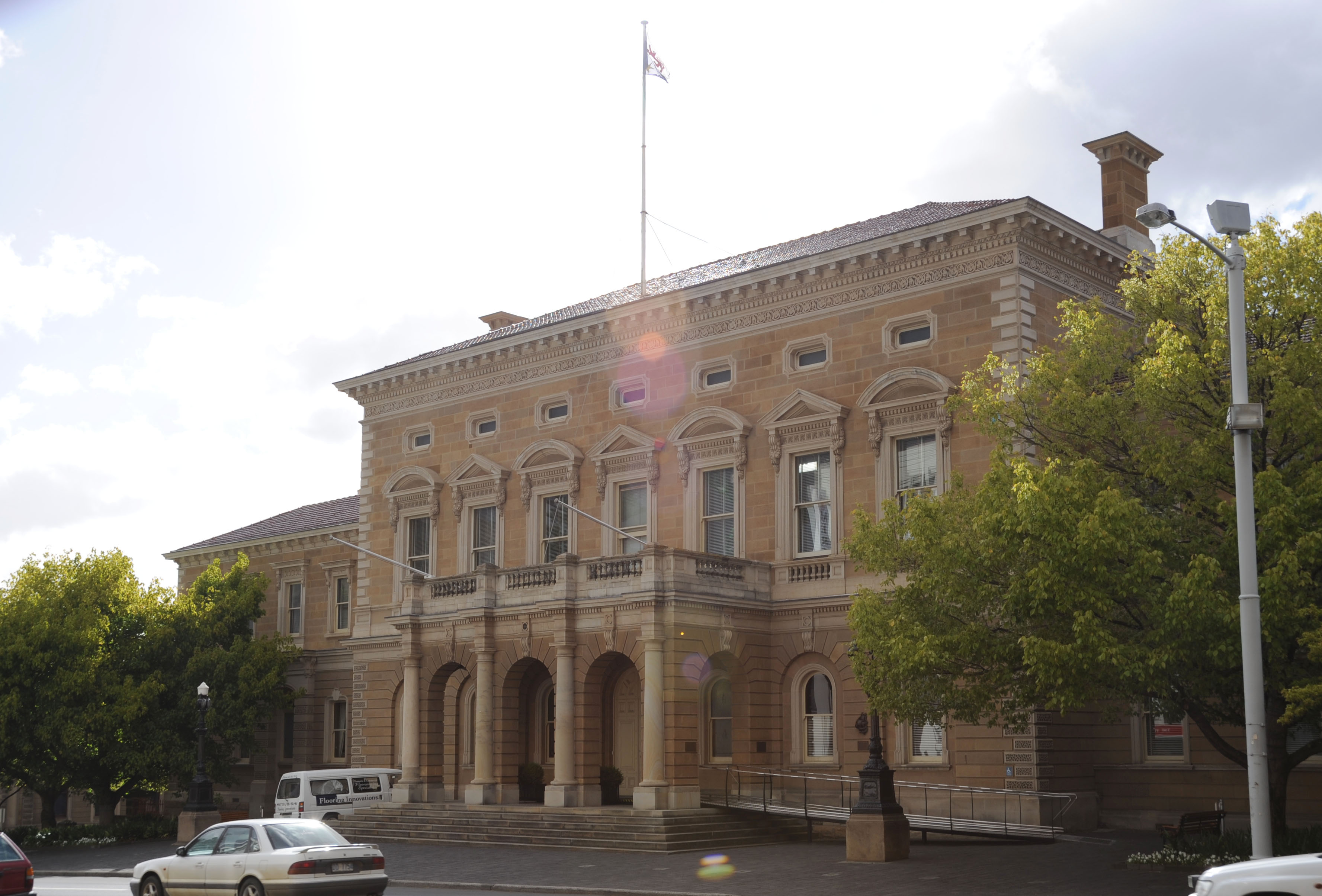
English: Hobart Town Hall |
| Date | |
| Source | Own work |
| Author | Barrylb |
| Camera location | | View this and other nearby images on: OpenStreetMap |
|---|
Licensing
| I, the copyright holder of this work, release this work into the public domain. This applies worldwide. In some countries this may not be legally possible; if so: I grant anyone the right to use this work for any purpose, without any conditions, unless such conditions are required by law. |
File history
Click on a date/time to view the file as it appeared at that time.
| Date/Time | Thumbnail | Dimensions | User | Comment | |
|---|---|---|---|---|---|
| current | 02:40, 18 October 2009 | | 3,554 × 2,410 (793 KB) | Barrylb | {{Information |Description={{en|1=Hobart Town Hall}} |Source={{own}} |Author=Barrylb |Date=2009-01-24 |Permission= |other_versions= }} Category:Buildings in Hobart |
File usage
The following 2 pages use this file:
Global file usage
The following other wikis use this file:
- Usage on az.wikipedia.org
- Usage on it.wikipedia.org
- Usage on pl.wikipedia.org
- Usage on ro.wikipedia.org
- Usage on tr.wikipedia.org
- Usage on www.wikidata.org


