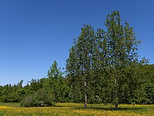
Geograph Deutschland is a web-based project, initiated in July 2008,[1] to create a freely accessible archive of geographically located photographs of Germany.[2] Photographs in the Geograph Deutschland collection are chosen to illustrate geographical features all parts of Germany. It is an offshoot of Geograph Britain and Ireland which began in March 2008.[3] All images are licensed by the contributors using the Creative Commons cc-by-sa 2.0 licence which permits modification and redistribution of the images under certain conditions.


