


Size of this preview: 792 × 600 pixels. Other resolutions: 317 × 240 pixels | 634 × 480 pixels | 1,014 × 768 pixels | 1,117 × 846 pixels.
Original file (1,117 × 846 pixels, file size: 234 KB, MIME type: image/jpeg)
Summary
| Description | ||||||
| Date | between 1857 and 1883 | |||||
| Source | http://collections.europeanalocal.de/muradora/objectView!getDataStreamContent.action?pid=eld:zlb-dck-dck_709_Angern&dsid=DS1&mimeType=application/pdf | |||||
| Author | Friedrich Wilhelm Ferdinand Theodor Albert (Magdeburg 1822-1867, Berlin), Alexander Duncker (1813-1897) | |||||
| Permission (Reusing this file) |
|
|||||
| OpenStreetMap | Way 226987225 | |||||
| Object location | | View this and other nearby images on: OpenStreetMap |
|---|
File history
Click on a date/time to view the file as it appeared at that time.
| Date/Time | Thumbnail | Dimensions | User | Comment | |
|---|---|---|---|---|---|
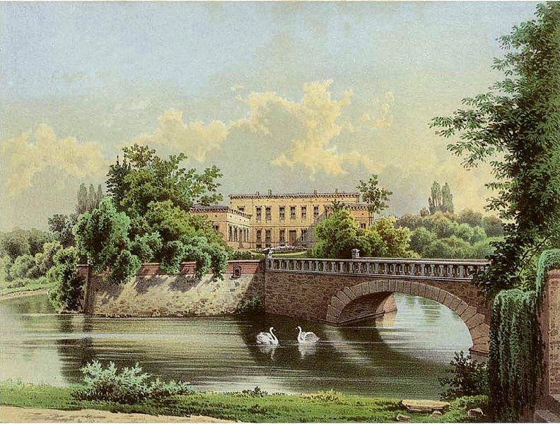
| current | 20:02, 21 December 2008 | | 1,117 × 846 (234 KB) | Tohma | == Summary == {{Information| |Description= {{de|Schloss Angern}} |Source= http://www.zlb.de/digitalesammlungen/SammlungDuncker/12/709%20Angern.pdf |Date= 1857 bis 1883 |Author=Friedrich Wilhelm Ferdinand Theodor Albert (Magdeburg 1822-1867, |
File usage
The following page uses this file:
Global file usage
The following other wikis use this file:
- Usage on ba.wikipedia.org
- Usage on bg.wikipedia.org
- Usage on ceb.wikipedia.org
- Usage on ce.wikipedia.org
- Usage on de.wikipedia.org
- Usage on es.wikipedia.org
- Usage on eu.wikipedia.org
- Usage on fr.wikipedia.org
- Usage on hu.wikipedia.org
- Usage on it.wikipedia.org
- Usage on lld.wikipedia.org
- Usage on ms.wikipedia.org
- Usage on pl.wikipedia.org
- Usage on pt.wikipedia.org
- Usage on ro.wikipedia.org
- Usage on ru.wikipedia.org
- Usage on sr.wikipedia.org
- Usage on tt.wikipedia.org
- Usage on uk.wikipedia.org
- Usage on uz.wikipedia.org
- Usage on vi.wikipedia.org
- Usage on war.wikipedia.org
- Usage on www.wikidata.org
- Usage on zh.wikipedia.org