


Size of this preview: 800 × 592 pixels. Other resolutions: 320 × 237 pixels | 640 × 474 pixels | 1,024 × 758 pixels | 1,280 × 948 pixels | 2,560 × 1,895 pixels | 3,204 × 2,372 pixels.
Original file (3,204 × 2,372 pixels, file size: 2.72 MB, MIME type: image/jpeg)
Summary
| Description |
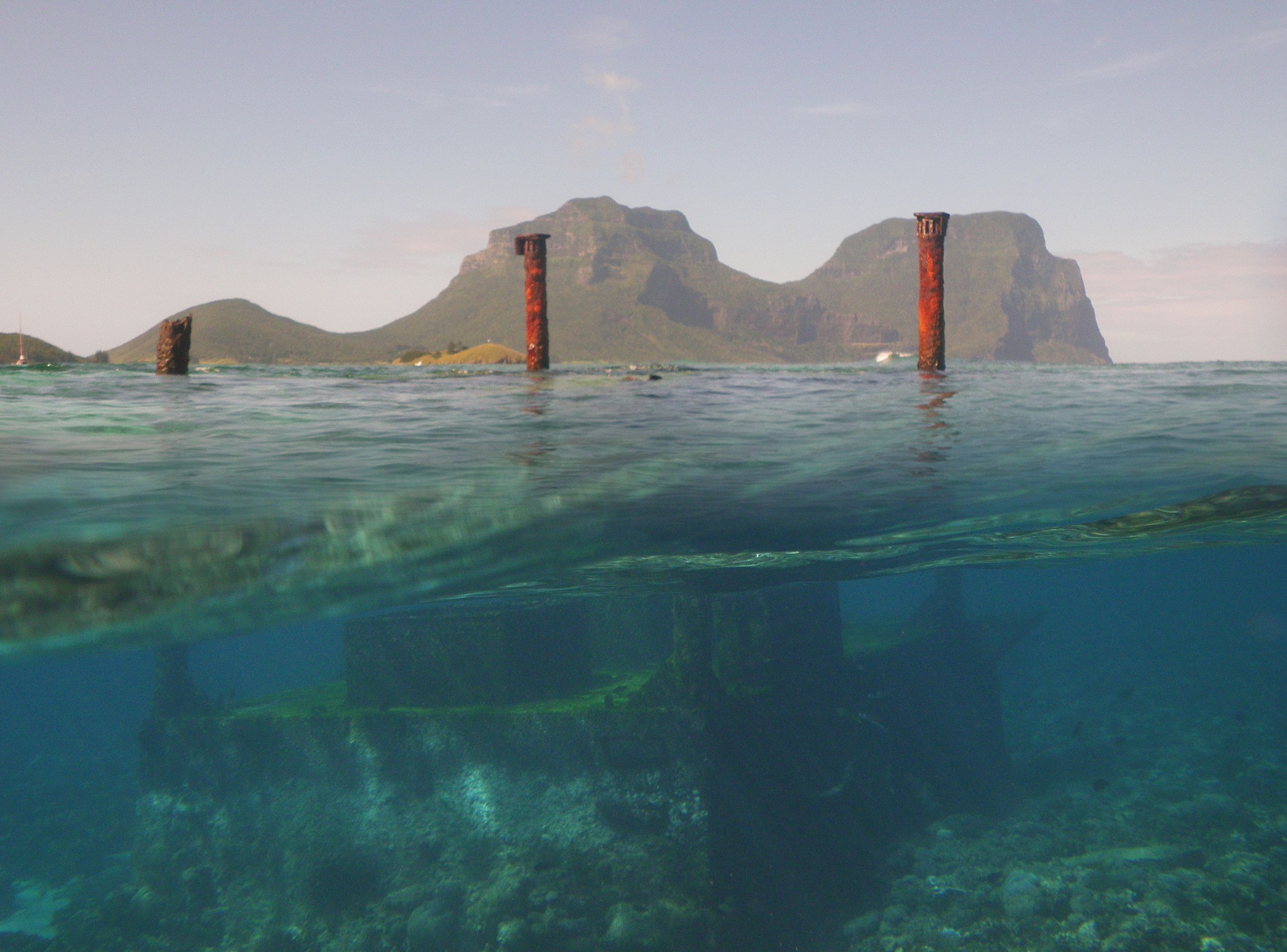
English: North Bay, Lord Howe Island, composite image of shipwreck and island. |
| Date | |
| Source | Own work |
| Author | Toby Hudson |
| Camera location | | View this and other nearby images on: OpenStreetMap |
|---|
Licensing
This file is licensed under the Creative Commons Attribution-Share Alike 3.0 Australia license.
- You are free:
- to share – to copy, distribute and transmit the work
- to remix – to adapt the work
- Under the following conditions:
- attribution – You must give appropriate credit, provide a link to the license, and indicate if changes were made. You may do so in any reasonable manner, but not in any way that suggests the licensor endorses you or your use.
- share alike – If you remix, transform, or build upon the material, you must distribute your contributions under the same or compatible license as the original.

File history
Click on a date/time to view the file as it appeared at that time.
| Date/Time | Thumbnail | Dimensions | User | Comment | |
|---|---|---|---|---|---|
| current | 05:17, 22 January 2013 | | 3,204 × 2,372 (2.72 MB) | 99of9 | User created page with UploadWizard |
File usage
The following page uses this file:
Global file usage
The following other wikis use this file:
- Usage on it.wikipedia.org
- Usage on ky.wikipedia.org