


Size of this preview: 800 × 600 pixels. Other resolutions: 320 × 240 pixels | 640 × 480 pixels | 1,024 × 768 pixels | 1,280 × 960 pixels | 2,560 × 1,920 pixels | 2,816 × 2,112 pixels.
Original file (2,816 × 2,112 pixels, file size: 2.4 MB, MIME type: image/jpeg)
|
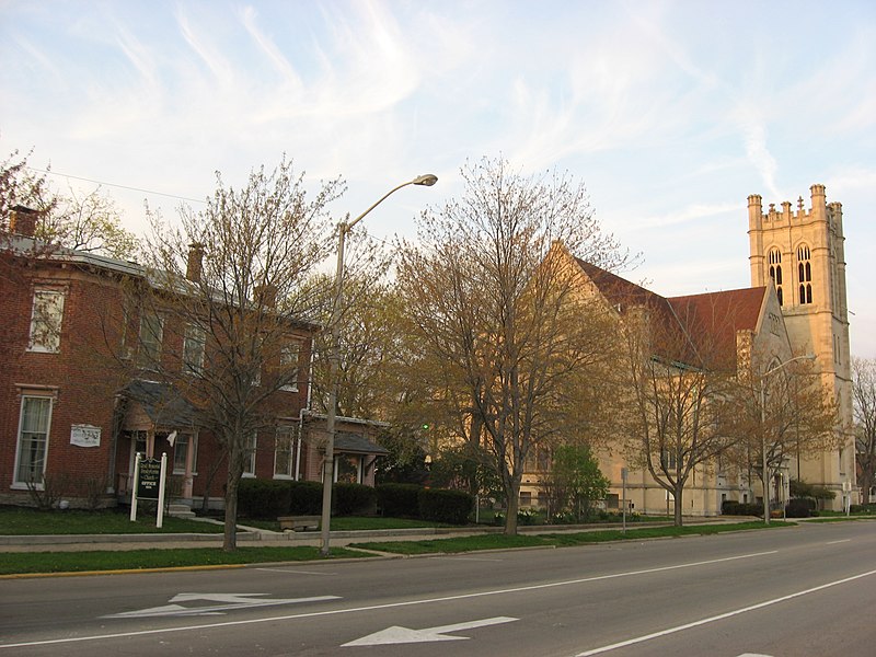
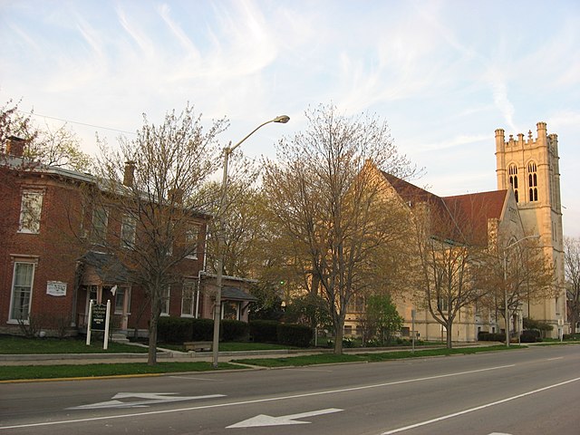
This is an image of a place or building that is listed on the National Register of Historic Places in the United States of America. Its reference number is 74000026. |
| Camera location | | View this and other nearby images on: OpenStreetMap |
|---|
| Description |
English: Southern side of Reid Memorial Presbyterian Church (right) and its former parsonage (left), located on the northern side of the 1000 block of N. A Street (U.S. Route 40) in Richmond, Indiana, United States. This block is part of the Starr Historic District, a historic district that is listed on the National Register of Historic Places. |
||
| Date | Taken on 14 April 2011 | ||
| Source | Own work | ||
| Author | Nyttend | ||
| Permission (Reusing this file) |
|
File history
Click on a date/time to view the file as it appeared at that time.
| Date/Time | Thumbnail | Dimensions | User | Comment | |
|---|---|---|---|---|---|
| current | 02:23, 24 April 2011 | | 2,816 × 2,112 (2.4 MB) | Nyttend | {{Location|39|49|49.8|N|84|53|20|W}} {{Information |Description={{en|Southern side of Reid Memorial Presbyterian Church (right) and its former parsonage (left), located on the northern side of the 1000 block of N. A Street ({{w|U.S. Route 40}}) in {{w|Ric |
File usage
The following 6 pages use this file:
Global file usage
The following other wikis use this file:
- Usage on fr.wikipedia.org
- Usage on www.wikidata.org