


File:Fort John Amador County 1866 map.png
Size of this preview: 780 × 600 pixels. Other resolutions: 312 × 240 pixels | 624 × 480 pixels | 909 × 699 pixels.
Original file (909 × 699 pixels, file size: 1.31 MB, MIME type: image/png)
Summary
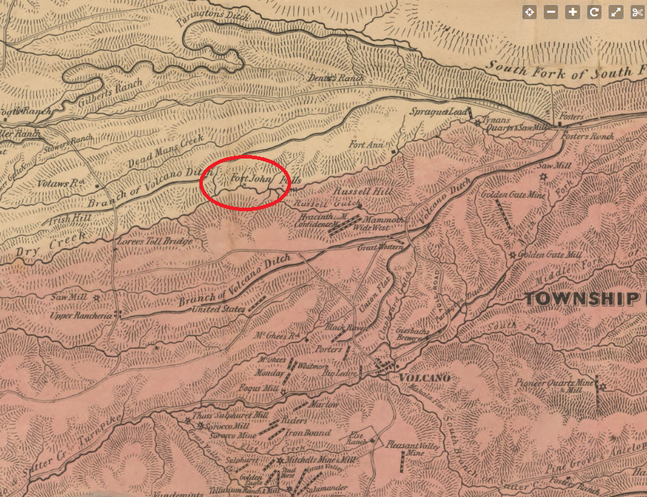
| Description | Excerpt of 1866 official map of Amador County California highlighting Fort John. https://www.loc.gov/resource/g4363a.la000012/?r=0.366,0.271,0.17,0.081,0 |
| Date | |
| Source | |
| Author | Britton & Co, |
Licensing
This media file is in the public domain in the United States. This applies to U.S. works where the copyright has expired, often because its first publication occurred prior to January 1, 1931, and if not then due to lack of notice or renewal. See this page for further explanation.
|
 | |
 |
File history
Click on a date/time to view the file as it appeared at that time.
| Date/Time | Thumbnail | Dimensions | User | Comment | |
|---|---|---|---|---|---|
| current | 18:20, 9 February 2021 | | 909 × 699 (1.31 MB) | Milowent | {{Information |Description= Excerpt of 1866 official map of Amador County California highlighting Fort John. https://www.loc.gov/resource/g4363a.la000012/?r=0.366,0.271,0.17,0.081,0 |Source= |Date= 1 January 1866 |Author= Britton & Co, |Permission= |other_versions= }} |
File usage
The following page uses this file: