


File:Chiang mai province road 1263.jpg
Size of this preview: 800 × 391 pixels. Other resolutions: 320 × 156 pixels | 640 × 313 pixels | 1,024 × 500 pixels | 1,920 × 938 pixels.
Original file (1,920 × 938 pixels, file size: 1.5 MB, MIME type: image/jpeg)
Summary
| Description |
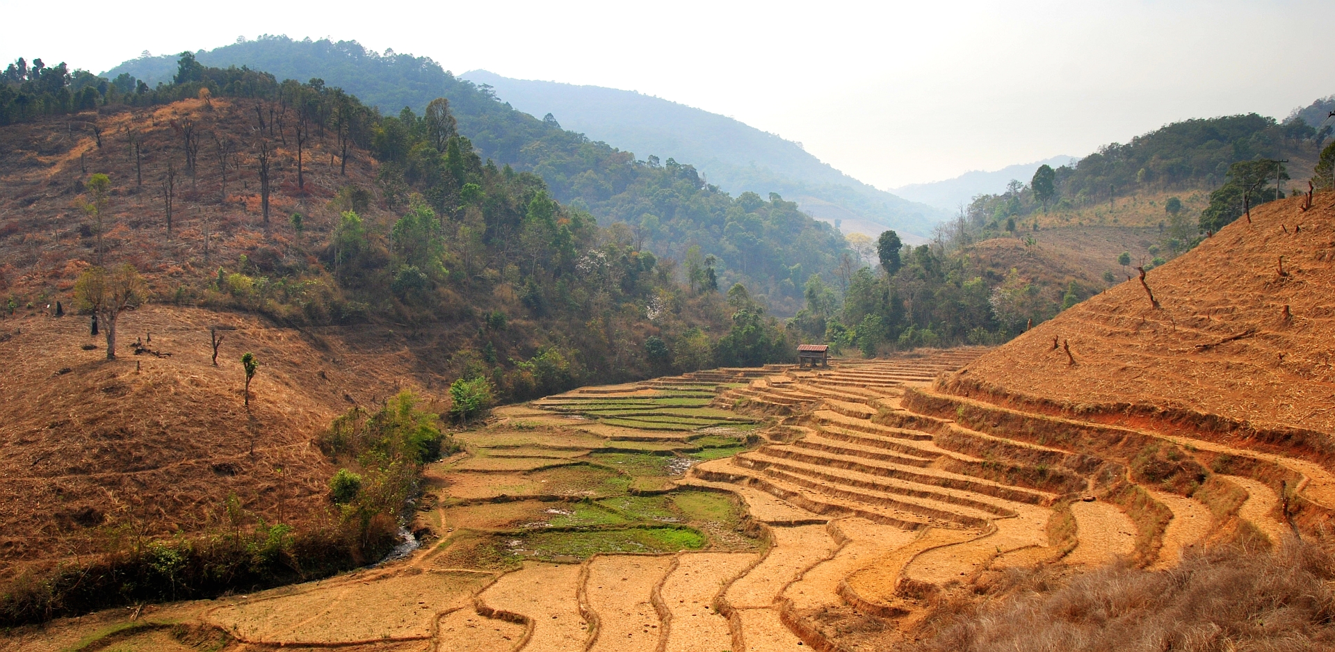
English: Rice paddies and recently cleared forest land in Amphoe Mae Chaem, along road 1263 between the town of Khun Yuam (Mae Hong Son province) and the town of Mae Chaem (Chiang Mai province), on the west flank of Doi Inthanon (the highest mountain of Thailand) during the hot and dry season of 2010. |
| Date | |
| Source | Own work |
| Author | Takeaway |
| Camera location | | View this and other nearby images on: OpenStreetMap |
|---|
Licensing
I, the copyright holder of this work, hereby publish it under the following licenses:

|
Permission is granted to copy, distribute and/or modify this document under the terms of the GNU Free Documentation License, Version 1.2 or any later version published by the Free Software Foundation; with no Invariant Sections, no Front-Cover Texts, and no Back-Cover Texts. A copy of the license is included in the section entitled GNU Free Documentation License. |
This file is licensed under the Creative Commons Attribution 3.0 Unported license.
- You are free:
- to share – to copy, distribute and transmit the work
- to remix – to adapt the work
- Under the following conditions:
- attribution – You must give appropriate credit, provide a link to the license, and indicate if changes were made. You may do so in any reasonable manner, but not in any way that suggests the licensor endorses you or your use.
You may select the license of your choice.
File history
Click on a date/time to view the file as it appeared at that time.
| Date/Time | Thumbnail | Dimensions | User | Comment | |
|---|---|---|---|---|---|
| current | 11:10, 24 March 2010 | | 1,920 × 938 (1.5 MB) | Takeaway | {{Information |Description={{en|1=Rice paddies and recently cleared forest land along road 1263 between Khun Yuam (Mae Hong Son province) and Mae Chaem (Chiang Mai province), on the west flank of Doi Inthanon (the highest mountain of Thailand) during the |
File usage
The following 2 pages use this file:
Global file usage
The following other wikis use this file:
- Usage on ca.wikipedia.org
- Usage on de.wikipedia.org
- Usage on eo.wikipedia.org
- Usage on fa.wikipedia.org
- Usage on ha.wikipedia.org
- Usage on ms.wikipedia.org
- Usage on pl.wikipedia.org