


File:Oigh Sgier - geograph.org.uk - 119673.jpg
No higher resolution available.
Oigh_Sgier_-_geograph.org.uk_-_119673.jpg (640 × 480 pixels, file size: 55 KB, MIME type: image/jpeg)
Summary
| Description |
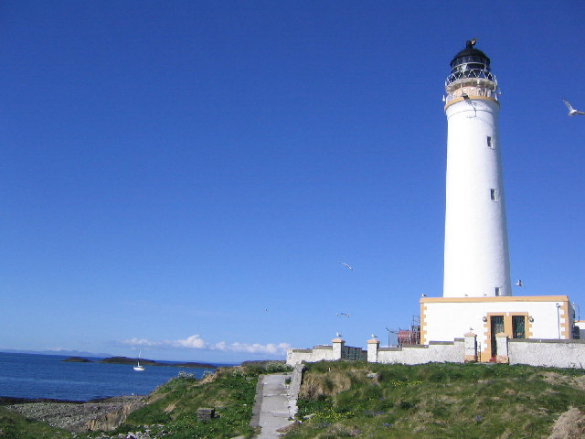
English: Oigh Sgier. Island of Hyskeir (Oigh Sgier) showing lighthouse (built in 1904 - by Stevenson family). Basaltic rocks visible in the distance. Island is covered by ground nesting seabirds. |
| Date | |
| Source | From geograph.org.uk |
| Author | Fin'n'Liz |
| Attribution (required by the license) | Fin'n'Liz / Oigh-sgeir / |
| Camera location | | View this and other nearby images on: OpenStreetMap |
|---|
_heading:45.00&language=en)
| Object location | | View this and other nearby images on: OpenStreetMap |
|---|
_heading:45.00&language=en)
Licensing

|
This image was taken from the Geograph project collection. See this photograph's page on the Geograph website for the photographer's contact details. The copyright on this image is owned by Fin'n'Liz and is licensed for reuse under the Creative Commons Attribution-ShareAlike 2.0 license.
|
This file is licensed under the Creative Commons Attribution-Share Alike 2.0 Generic license.
Attribution:
Fin'n'Liz
- You are free:
- to share – to copy, distribute and transmit the work
- to remix – to adapt the work
- Under the following conditions:
- attribution – You must give appropriate credit, provide a link to the license, and indicate if changes were made. You may do so in any reasonable manner, but not in any way that suggests the licensor endorses you or your use.
- share alike – If you remix, transform, or build upon the material, you must distribute your contributions under the same or compatible license as the original.
File history
Click on a date/time to view the file as it appeared at that time.
| Date/Time | Thumbnail | Dimensions | User | Comment | |
|---|---|---|---|---|---|
| current | 11:25, 31 January 2010 | | 640 × 480 (55 KB) | GeographBot | == {{int:filedesc}} == {{Information |description={{en|1=Oigh Sgier. Island of Hyskeir (Oigh Sgier) showing lighthouse (built in 1904 - by Stevenson family). Basaltic rocks visible in the distance. Island is covered by ground nesting seabirds.}} |date=2 |
File usage
The following 5 pages use this file:
Global file usage
The following other wikis use this file:
- Usage on cs.wikipedia.org
- Usage on de.wikipedia.org
- Usage on fr.wikipedia.org
- Usage on gd.wikipedia.org
- Usage on www.wikidata.org