


File:Reuss Karte.jpg
Size of this preview: 633 × 600 pixels. Other resolutions: 253 × 240 pixels | 506 × 480 pixels | 996 × 944 pixels.
Original file (996 × 944 pixels, file size: 452 KB, MIME type: image/jpeg)
Summary
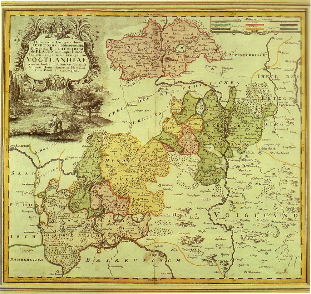
| Description | 18th century map of the Reuss principalities, Thuringia, Germany |
| Date | 18th century |
| Source | scanned from Gera - Geschichte der Stadt in Wort und Bild, Berlin 1987 |
| Author | Unknown author |
Licensing
|
This work is in the public domain in its country of origin and other countries and areas where the copyright term is the author's life plus 70 years or fewer. | |
| This file has been identified as being free of known restrictions under copyright law, including all related and neighboring rights. | |
File history
Click on a date/time to view the file as it appeared at that time.
| Date/Time | Thumbnail | Dimensions | User | Comment | |
|---|---|---|---|---|---|
| current | 15:23, 7 November 2008 | | 996 × 944 (452 KB) | Steffen Löwe Gera | {{Information |Description=18th century map of the Reuss principalities, Thuringia, Germany |Source=scanned from ''Gera - Geschichte der Stadt in Wort und Bild'', Berlin 1987 |Date=18th century |Author=unknown |Permission= |other_versions= }} [[Category: |
File usage
The following page uses this file:
Global file usage
The following other wikis use this file:
- Usage on cs.wikipedia.org
- Usage on de.wikipedia.org
- Usage on de.wikisource.org
- Usage on es.wikipedia.org
- Usage on et.wikipedia.org
- Usage on fr.wikipedia.org
- Usage on it.wikipedia.org
- Usage on ja.wikipedia.org