


File:Buache1753Map.jpg
Size of this preview: 800 × 547 pixels. Other resolutions: 320 × 219 pixels | 640 × 438 pixels | 1,024 × 701 pixels | 1,280 × 876 pixels | 2,811 × 1,923 pixels.
Original file (2,811 × 1,923 pixels, file size: 1,001 KB, MIME type: image/jpeg)
Summary
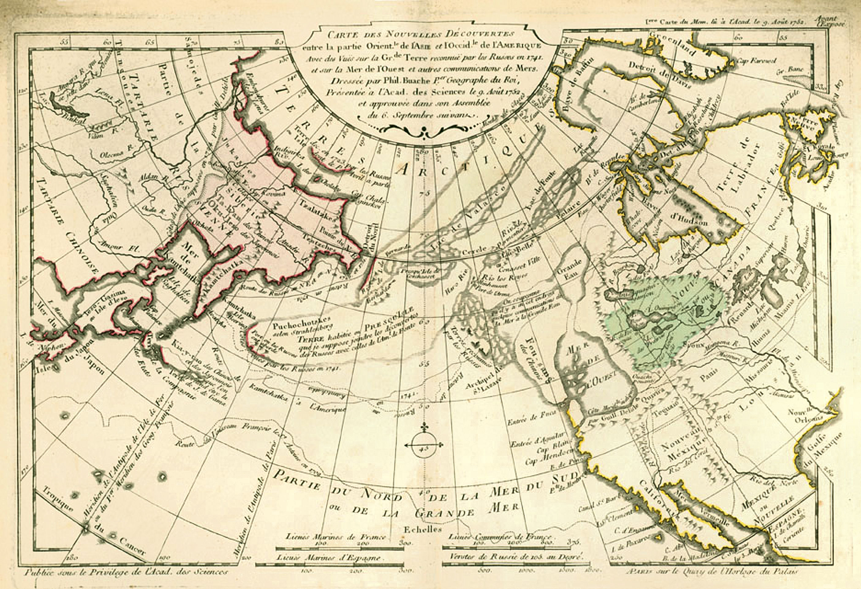
| Description | 1753 world map by the French cartographer Philippe Buache | |||||||||||||||||||
| Date | ||||||||||||||||||||
| Source | [1] | |||||||||||||||||||
| Author |
|
|||||||||||||||||||
Licensing
|
This is a faithful photographic reproduction of a two-dimensional, public domain work of art. The work of art itself is in the public domain for the following reason:
The official position taken by the Wikimedia Foundation is that "faithful reproductions of two-dimensional public domain works of art are public domain".
This photographic reproduction is therefore also considered to be in the public domain in the United States. In other jurisdictions, re-use of this content may be restricted; see Reuse of PD-Art photographs for details. | ||||
File history
Click on a date/time to view the file as it appeared at that time.
| Date/Time | Thumbnail | Dimensions | User | Comment | |
|---|---|---|---|---|---|
| current | 20:06, 22 November 2007 | | 2,811 × 1,923 (1,001 KB) | World Imaging | {{Information |Description=1753 world map by the French cartographer Philippe Buache |Source=[http://www.common-place.org/vol-05/no-04/sayre/index.shtml] |Date=1753 |Author=Philippe Buache |Permission= |other_versions= }} Category:World maps |
File usage
The following 4 pages use this file:
Global file usage
The following other wikis use this file:
- Usage on ar.wikipedia.org
- Usage on de.wikipedia.org
- Usage on el.wikipedia.org
- Usage on eo.wikipedia.org
- Usage on es.wikipedia.org
- Usage on it.wikipedia.org
- Usage on ja.wikipedia.org
- Usage on ko.wikipedia.org
- Usage on pl.wikipedia.org
- Usage on ru.wikipedia.org
- Usage on sl.wikipedia.org
- Usage on vi.wikipedia.org
- Usage on www.wikidata.org
- Usage on zh.wikipedia.org