


File:Aerial view of Paris-Charles de Gaulle airport.jpg
Size of this preview: 800 × 600 pixels. Other resolutions: 320 × 240 pixels | 640 × 480 pixels | 1,024 × 768 pixels | 1,280 × 960 pixels | 2,560 × 1,920 pixels | 3,648 × 2,736 pixels.
Original file (3,648 × 2,736 pixels, file size: 5.11 MB, MIME type: image/jpeg)
Summary
| Description |
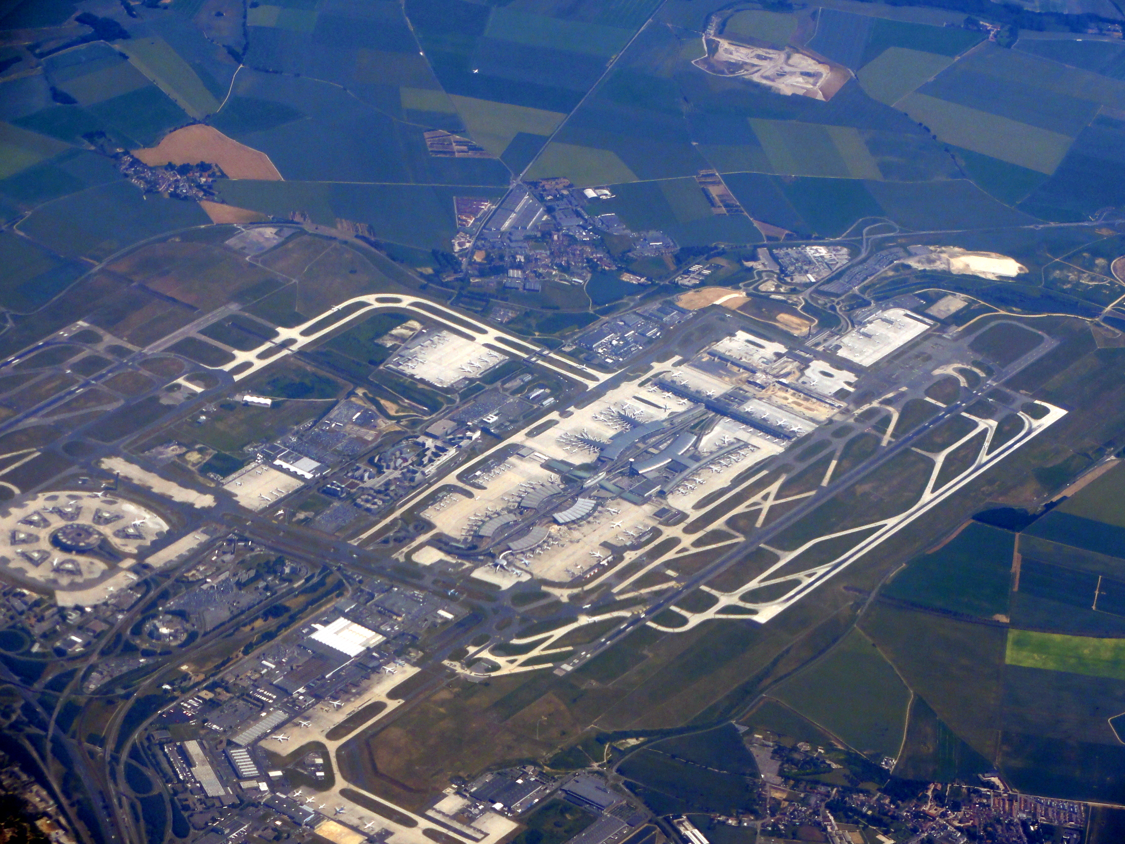
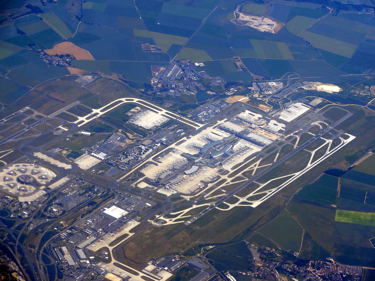
English: Aerial view of Paris-Charles de Gaulle airport (EXIF location wrong) |
||
| Date | |||
| Source | Flickr: charles de gaulle | ||
| Author | Martin Abegglen | ||
| Permission (Reusing this file) |
This file is licensed under the Creative Commons Attribution-Share Alike 2.0 Generic license.
|

|
This image contains geocoded location data in its Exif metadata. However, the recorded coordinates may be ambiguous, incorrect, impossible, or refer to the digitizing equipment rather than the actual photographed location. Examples include coordinates recorded as 0° latitude/longitude, excessively large latitude or longitude values, or scanner locations. Once an accurate {{Location}} template is added to this page, this template may be safely removed. If no location is applicable for this file, please remove this template and add the file to Category:Location not applicable. |
File history
Click on a date/time to view the file as it appeared at that time.
| Date/Time | Thumbnail | Dimensions | User | Comment | |
|---|---|---|---|---|---|
| current | 10:28, 9 January 2012 | | 3,648 × 2,736 (5.11 MB) | Flickr upload bot | Uploaded from http://flickr.com/photo/30713600@N00/4798201721 using Flickr upload bot |
File usage
The following page uses this file:
Global file usage
The following other wikis use this file:
- Usage on de.wikipedia.org
- Usage on pt.wikipedia.org
- Usage on sk.wikipedia.org
- Usage on vep.wikipedia.org