


|
This historical map image could be re-created using vector graphics as a SVG file. This has several advantages; see Commons:Media for cleanup for more information. If a SVG form of this image is available, please upload it and afterwards replace this template with
{{vector version available|new image name}}.It is recommended to name the SVG file “Indo-Greeks 100bc.svg”—then the template Vector version available (or Vva) does not need the new image name parameter. |
Summary
| Description |
English: The Indo-Greek Kingdoms in 100 BC.. |
| Date | |
| Source | Own work |
| Author | Thomas Lessman • (Contact!) |
| Permission (Reusing this file) |
I, the copyright holder of this work, hereby publish it under the following license:    This file is licensed under the Creative Commons Attribution-Share Alike 3.0 Unported license.
|
| Other versions | see below |
Map Summary

Original Source URL: http://www.thomaslessman.com/History/images/East-Hem_100bc.jpg

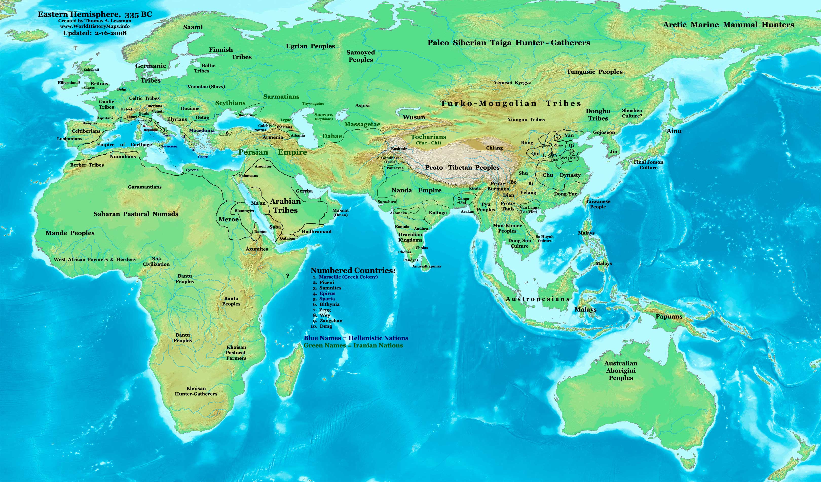
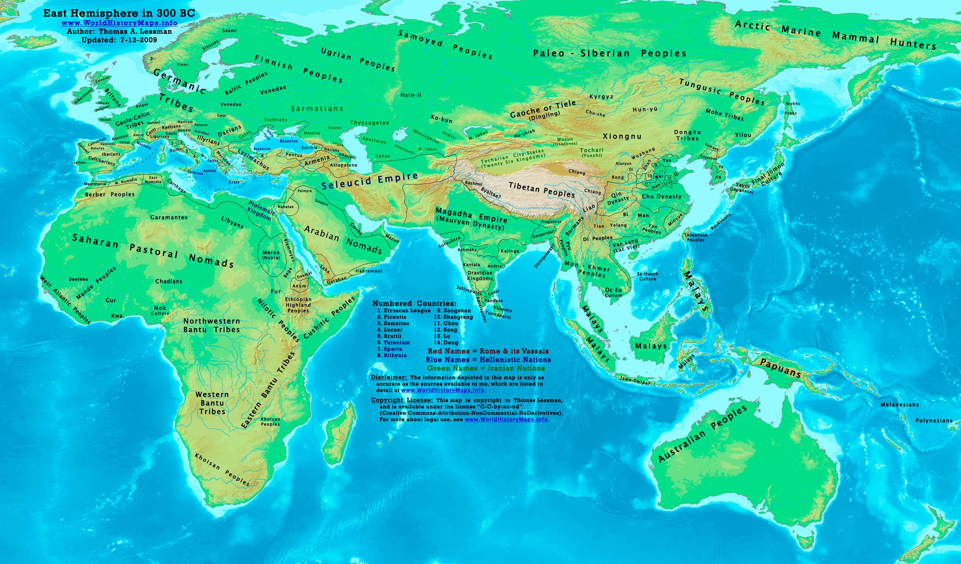
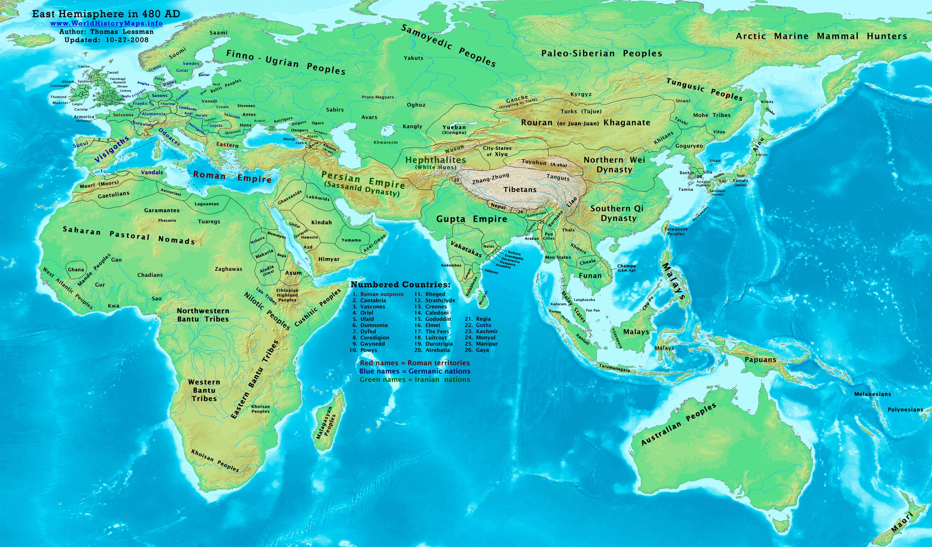
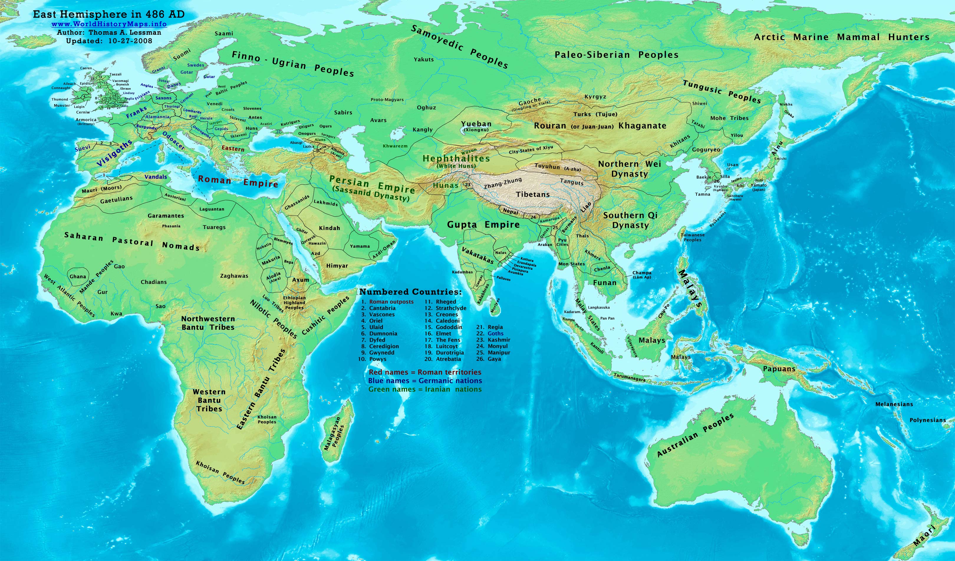
This map is a zoomed-in version of Thomas Lessman's map of the East Hemisphere in 100 BC, also available at www.WorldHistoryMaps.info.
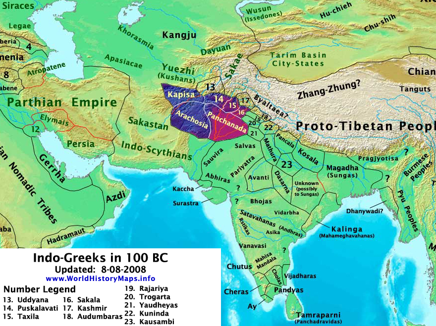
Highlighted areas represent lands of the Indo-Greek Kingdoms in 100 BC, (after the fall of Greco-Bactria and on the eve of the Indo-Scythian invasion of India. Note: Source information is below.
Map Source References
Remember, sources often conflict with each other. This map is only as accurate as the information that is available to me. To report any errors or to help further this work, please click here, or email Thomas Lessman at talessman@yis.us
References for information contained in this map:
- *See the references for East-Hem_100bc.jpg

Other Maps by Thomas Lessman
| Maps of the eastern hemisphere showing history
Bold dates are available on Wikimedia or Wikipedia. | ||
| Primeval | ||
| Ancient
|
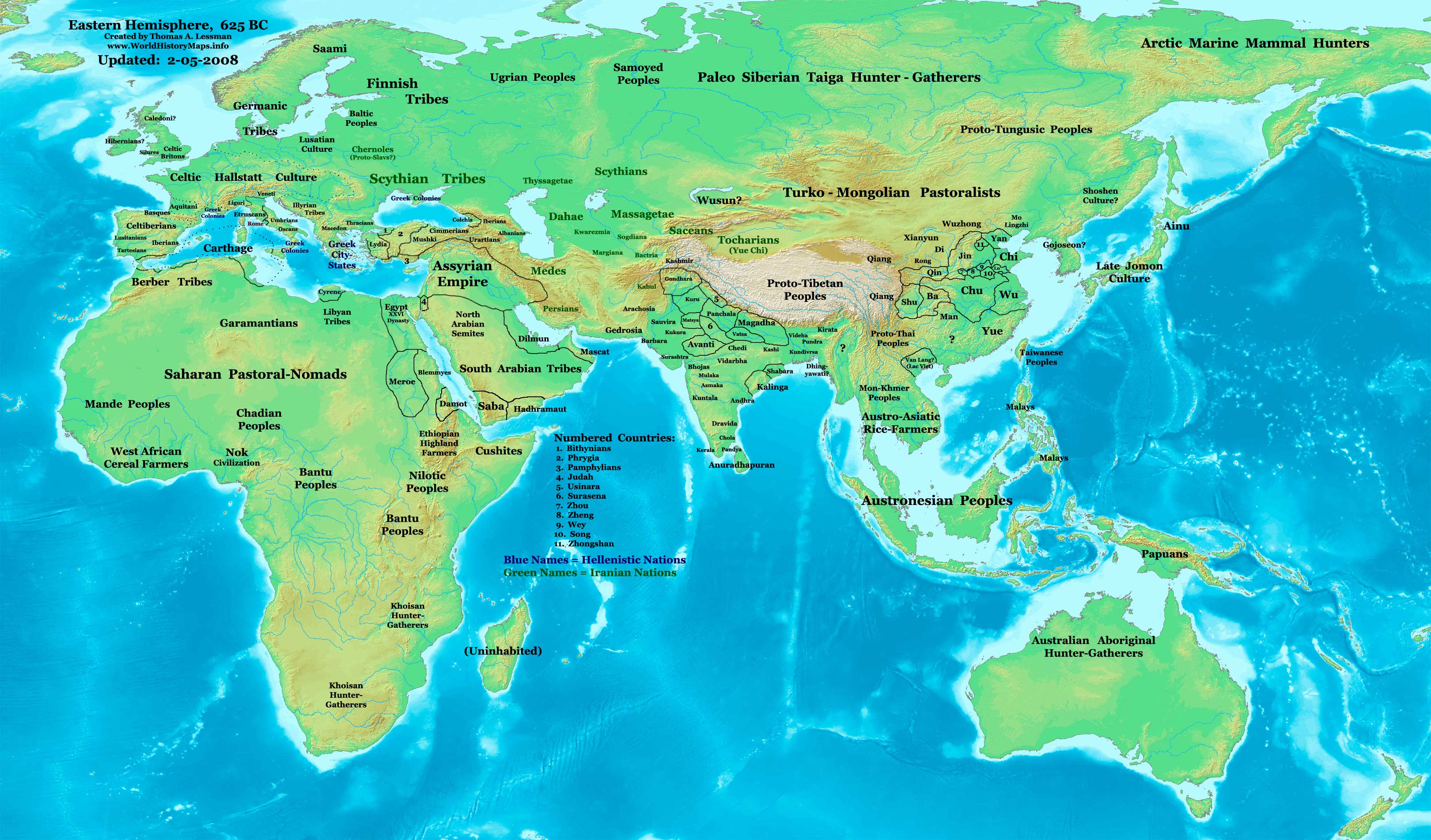
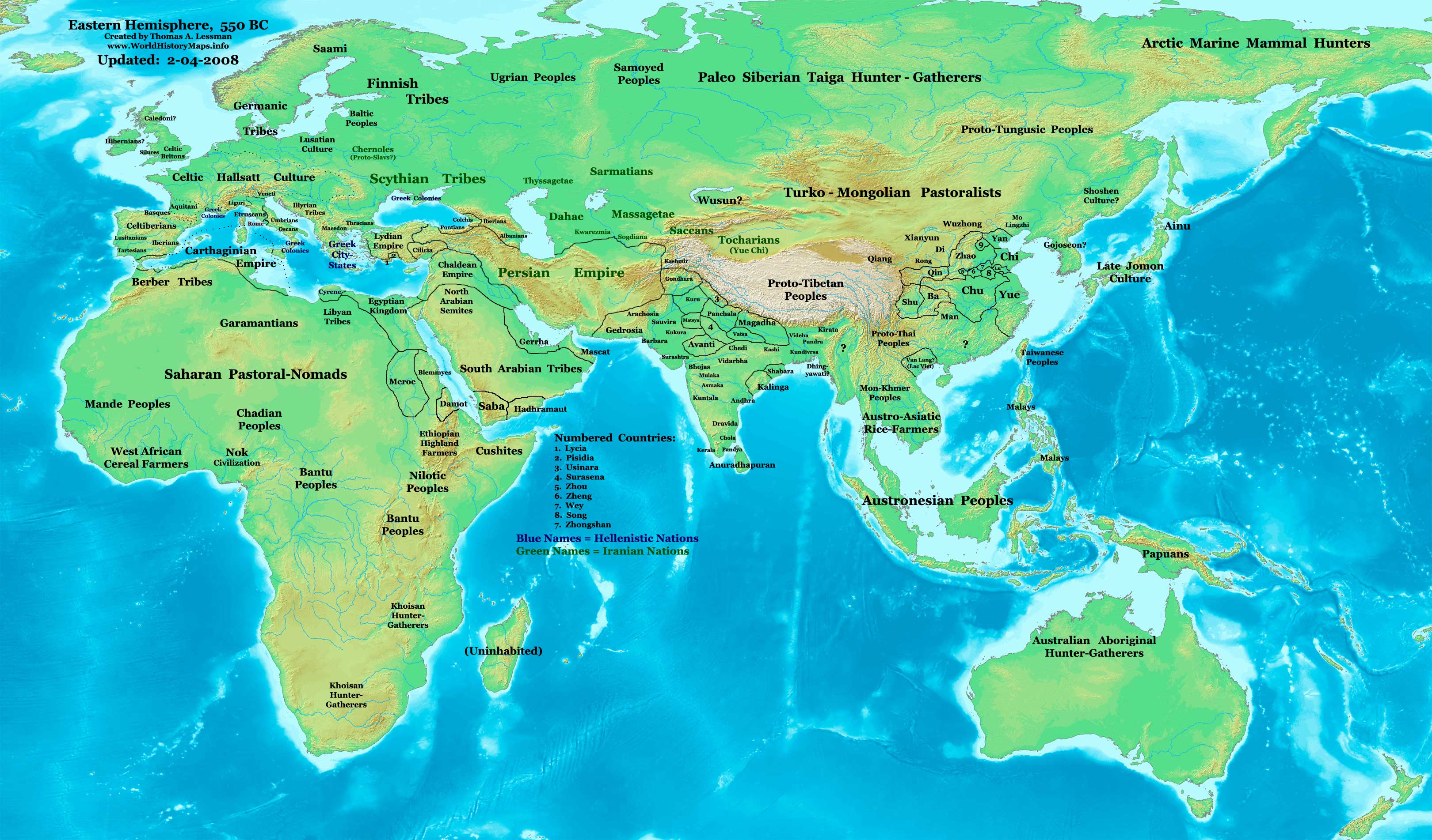
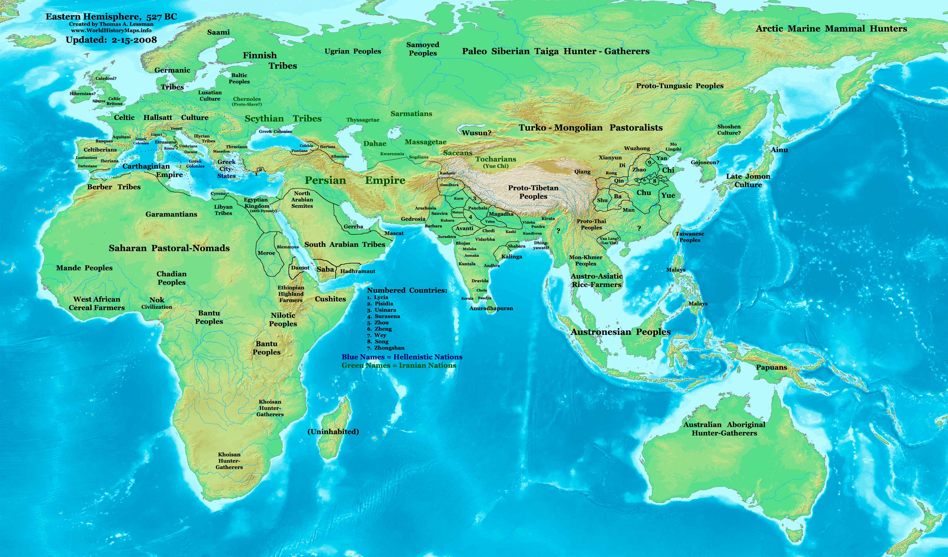
·| 600 BC | 550 BC | 527 BC | 500 BC |
400 BC | ·| 1 AD | 50 AD | 100 AD | 200 AD | 300 AD | | |
| Medieval |
·| 500 AD | 565 AD | 600 AD | 700 AD | | |
| Modern |
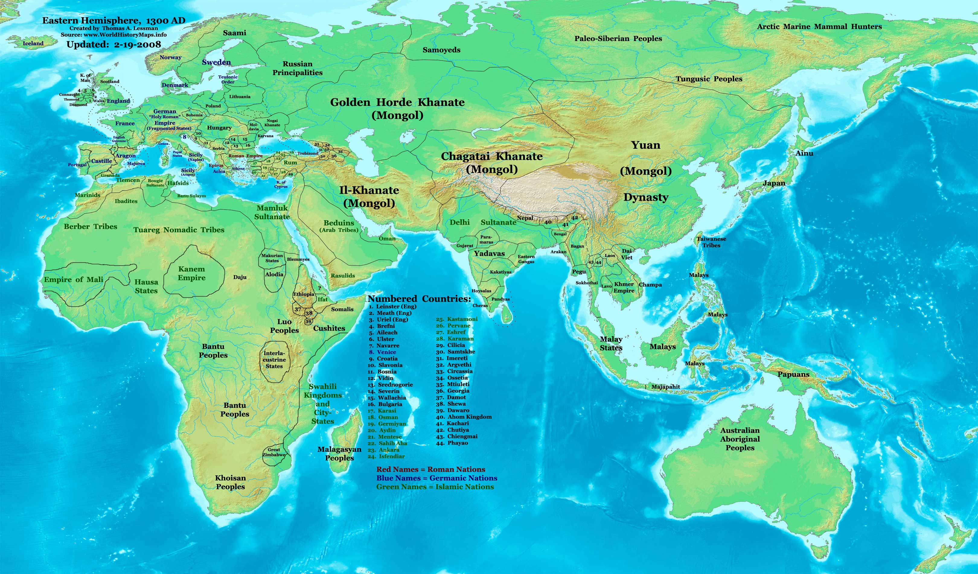
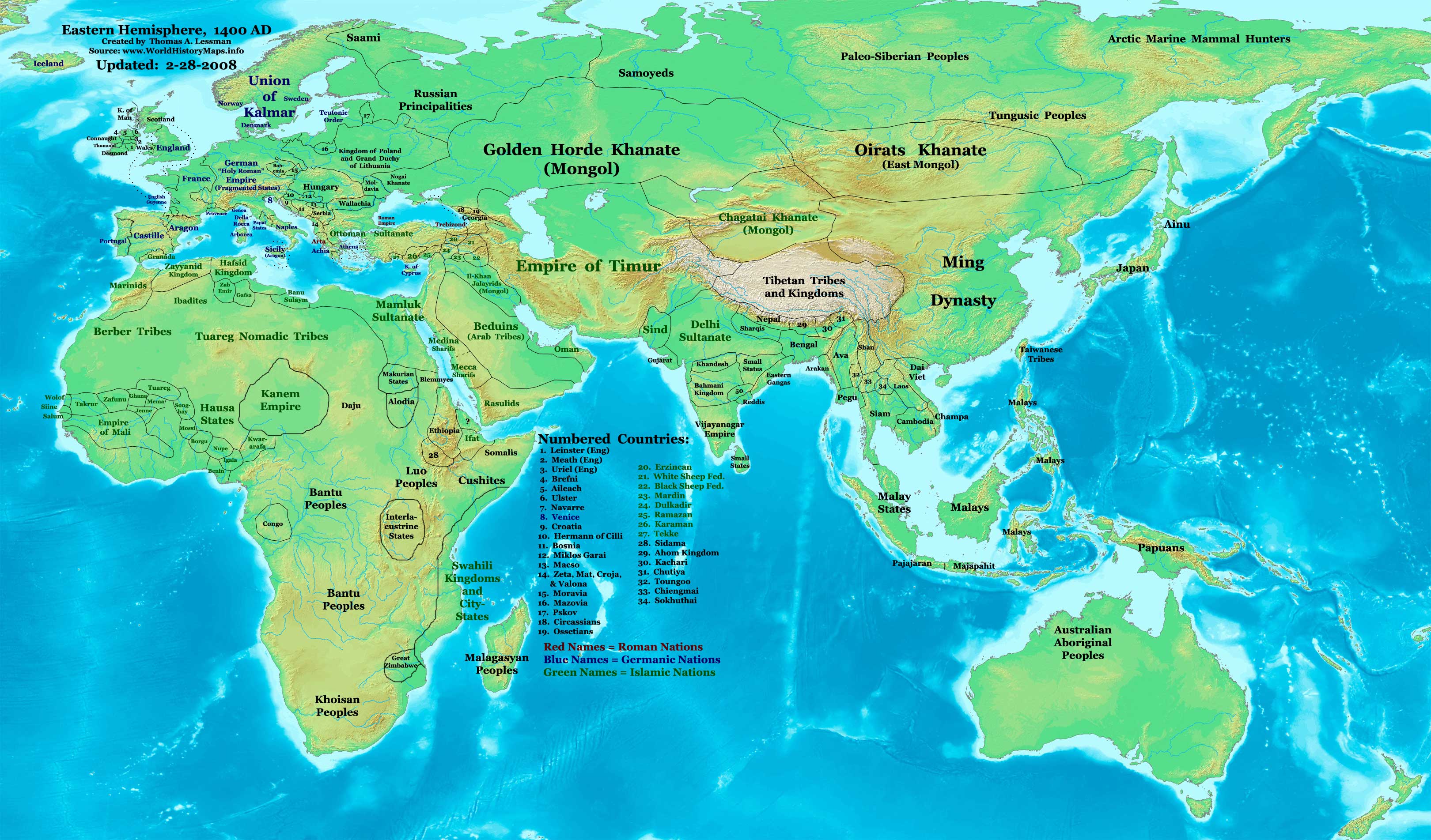
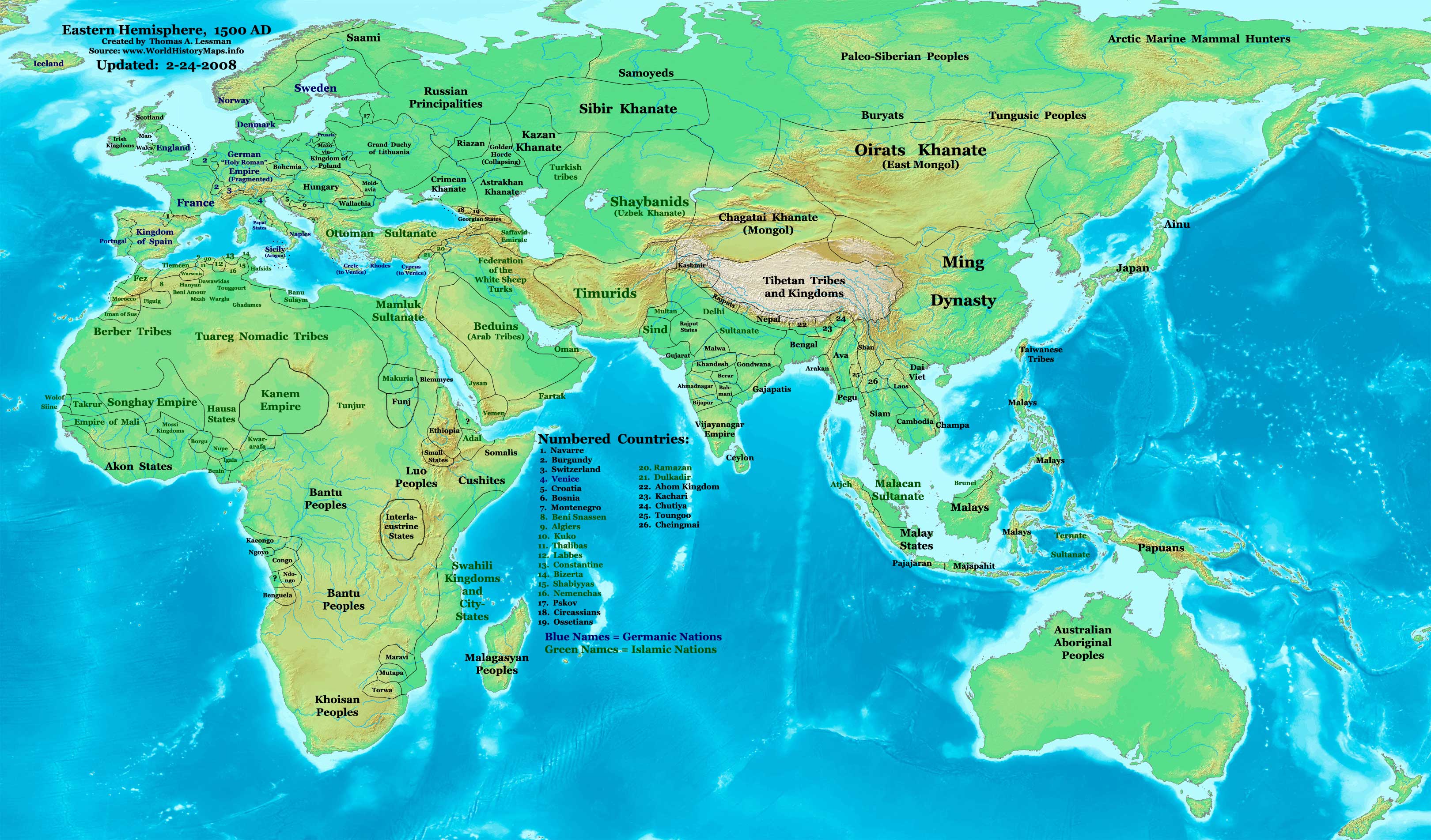
·| 1500 AD | · * For historical maps of the whole world, | |










Other Info
Licensing
- You are free:
- to share – to copy, distribute and transmit the work
- to remix – to adapt the work
- Under the following conditions:
- attribution – You must give appropriate credit, provide a link to the license, and indicate if changes were made. You may do so in any reasonable manner, but not in any way that suggests the licensor endorses you or your use.
- share alike – If you remix, transform, or build upon the material, you must distribute your contributions under the same or compatible license as the original.
File history
Click on a date/time to view the file as it appeared at that time.
| Date/Time | Thumbnail | Dimensions | User | Comment | |
|---|---|---|---|---|---|
| current | 16:42, 9 August 2008 | | 880 × 659 (696 KB) | Talessman | Updates to various borders and surrounding cultures/peoples. |
| 23:13, 1 August 2008 |  | 790 × 736 (738 KB) | Talessman | {{Information |Description= |Source= |Date= |Author= |Permission= |other_versions= }} | |
| 19:32, 30 July 2008 |  | 818 × 620 (458 KB) | Talessman | {{Information |Description={{en|1=Indo-Greek Kingdoms in 100 BC.}} |Source=Own work by uploader |Author=Talessman |Date=5-16-2008 |Permission= |other_versions= }} {{ImageUpload|full}} |


File usage
The following 8 pages use this file:
Global file usage
The following other wikis use this file:
- Usage on ar.wikipedia.org
- Usage on bg.wikipedia.org
- Usage on bn.wikipedia.org
- Usage on bs.wikipedia.org
- Usage on cs.wikipedia.org
- Usage on cv.wikipedia.org
- Usage on es.wikipedia.org
- Usage on eu.wikipedia.org
- Usage on fr.wikipedia.org
- Usage on hi.wikipedia.org
- Usage on hu.wikisource.org
- Usage on hy.wikipedia.org
- Usage on id.wikipedia.org
- Usage on it.wikipedia.org
- Usage on ko.wikipedia.org
- Usage on ml.wikipedia.org
- Usage on ms.wikipedia.org
- Usage on nn.wikipedia.org
- Usage on no.wikipedia.org
- Usage on pa.wikipedia.org
- Usage on pl.wikipedia.org
- Usage on pnb.wikipedia.org
- Usage on pt.wikipedia.org
- Usage on ru.wikipedia.org
- Usage on sh.wikipedia.org
- Usage on si.wikipedia.org
- Usage on sr.wikipedia.org
- Usage on sv.wikipedia.org
- Usage on uk.wikipedia.org
- Usage on zh.wikipedia.org
