


Size of this preview: 800 × 498 pixels. Other resolutions: 320 × 199 pixels | 640 × 398 pixels | 1,024 × 637 pixels | 1,280 × 797 pixels | 2,560 × 1,594 pixels | 4,752 × 2,958 pixels.
Original file (4,752 × 2,958 pixels, file size: 4.87 MB, MIME type: image/jpeg)
Summary
| Description |
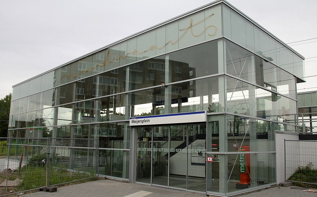
Nederlands: Metrostation Meijersplein van RandstadRail. |
| Date | |
| Source | Own work |
| Author | Maurits90 |
| Permission (Reusing this file) |
Vrij te gebruiken |
| Camera location | | View this and other nearby images on: OpenStreetMap |
|---|
Licensing
| I, the copyright holder of this work, release this work into the public domain. This applies worldwide. In some countries this may not be legally possible; if so: I grant anyone the right to use this work for any purpose, without any conditions, unless such conditions are required by law. |
File history
Click on a date/time to view the file as it appeared at that time.
| Date/Time | Thumbnail | Dimensions | User | Comment | |
|---|---|---|---|---|---|
| current | 06:55, 28 July 2010 | | 4,752 × 2,958 (4.87 MB) | Willem 90 | {{Information |Description={{nl|1=Metrostation Meijersplein van RandstadRail.}} |Source={{own}} |Author=Maurits90 |Date=27-07-2010 |Permission=Vrij te gebruiken |other_versions= }} {{location|51|57|21.82|N|4|27|45.42|E|region:NL}} [[Cat |
File usage
The following page uses this file:
Global file usage
The following other wikis use this file:
- Usage on cs.wikipedia.org
- Usage on nl.wikipedia.org
- Usage on pl.wikipedia.org
- Usage on ru.wikipedia.org
- Usage on www.wikidata.org
- Usage on zh.wikipedia.org