


Size of this PNG preview of this SVG file: 709 × 425 pixels. Other resolutions: 320 × 192 pixels | 640 × 384 pixels | 1,024 × 614 pixels | 1,280 × 767 pixels | 2,560 × 1,535 pixels.
Original file (SVG file, nominally 709 × 425 pixels, file size: 1.09 MB)
Summary
| Description |
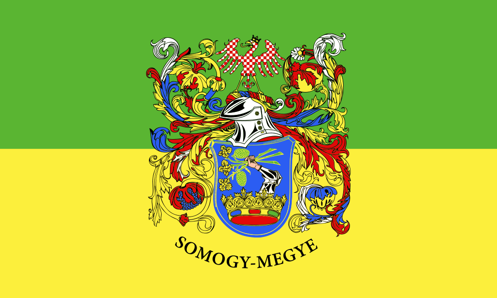
English: Flag of Somogy megye |
| Date | |
| Source | Own work |
| Author | Babylonien86 |
Licensing
I, the copyright holder of this work, hereby publish it under the following license:
This file is licensed under the Creative Commons Attribution-Share Alike 3.0 Unported license.
- You are free:
- to share – to copy, distribute and transmit the work
- to remix – to adapt the work
- Under the following conditions:
- attribution – You must give appropriate credit, provide a link to the license, and indicate if changes were made. You may do so in any reasonable manner, but not in any way that suggests the licensor endorses you or your use.
- share alike – If you remix, transform, or build upon the material, you must distribute your contributions under the same or compatible license as the original.
File history
Click on a date/time to view the file as it appeared at that time.
| Date/Time | Thumbnail | Dimensions | User | Comment | |
|---|---|---|---|---|---|
| current | 12:57, 7 August 2015 | | 709 × 425 (1.09 MB) | Ludó | version originale |
| 18:01, 18 November 2013 |  | 1,020 × 680 (76 KB) | SiBr4 | Removed invisible embedded flags of 13 other counties; reduced and validated SVG code | |
| 03:42, 24 August 2012 |  | 1,020 × 680 (1.88 MB) | Ludó | User created page with UploadWizard |
File usage
The following 47 pages use this file:
- Administrative divisions of Hungary
- Baranya County
- Borsod–Abaúj–Zemplén County
- Budapest metropolitan area
- Bács-Kiskun County
- Békés County
- City with county rights (Hungary)
- Counties of Hungary
- Croats of Hungary
- Csongrád-Csanád County
- Fejér County
- Germans of Hungary
- Győr–Moson–Sopron County
- Hajdú–Bihar County
- Heves County
- Jász–Nagykun–Szolnok County
- Komárom-Esztergom County
- List of Hungarian flags
- List of cities and towns of Hungary
- List of country subdivision flags in Europe
- List of football stadiums in Hungary
- List of palaces and mansions in Hungary
- List of political and geographic subdivisions by total area (all)
- List of political and geographic subdivisions by total area from 5,000 to 20,000 square kilometers
- List of political and geographic subdivisions by total area from 5,000 to 7,000 square kilometers
- List of urban areas in Hungary
- Magyar Kupa
- Nógrád County
- Pest County
- Ranked list of Hungarian counties
- Romani people in Hungary
- Somogy County
- Somogybabod
- Szabolcs–Szatmár–Bereg County
- Tolna County
- Vas County
- Veszprém County
- Zala County
- User:Cow me, please!
- User:Hugo.arg/sandbox
- User:Miles530
- User:TolleWurst/Flags of countries and country subdivisions
- Wikipedia:WikiProject Countries/Templates/Navboxes/European country subdivisions
- Template:Counties of Hungary
- Template:Country data Hungary
- Template:Country data Hungary/doc
- Template:Country data Somogy County
Global file usage
The following other wikis use this file:
- Usage on ar.wikipedia.org
- Usage on az.wikipedia.org
- Usage on ban.wikipedia.org
- County Pest
- Mal:County ring Hungaria
- County Nógrád
- County Heves
- County Jász-Nagykun-Szolnok
- County Bács–Kiskun
- County Fejér
- County Komárom-Esztergom
- County Borsod–Abaúj–Zemplén
- County Hajdú–Bihar
- County Szabolcs–Szatmár–Bereg
- County Békés
- County Csongrád–Csanád
- County Győr–Moson–Sopron
- County Veszprém
- County Tolna
- County Somogy
- County Zala
- County Vas
- County Baranya
- Usage on be-tarask.wikipedia.org
- Usage on bg.wikipedia.org
- Usage on bxr.wikipedia.org
- Usage on ca.wikipedia.org
- Usage on cs.wikipedia.org
- Usage on de.wikipedia.org
- Usage on eo.wikipedia.org
- Usage on es.wikipedia.org
View more global usage of this file.