


Size of this preview: 800 × 598 pixels. Other resolutions: 320 × 239 pixels | 640 × 478 pixels | 1,024 × 765 pixels | 1,280 × 956 pixels | 2,560 × 1,913 pixels | 2,848 × 2,128 pixels.
Original file (2,848 × 2,128 pixels, file size: 1.28 MB, MIME type: image/jpeg)
Summary
| Description |
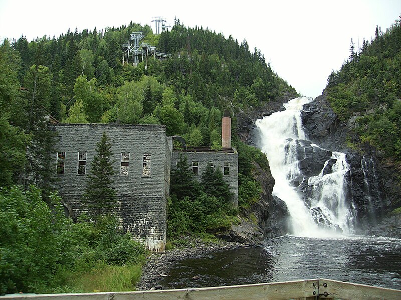
Français : Chute Ouiatchouan, Val Jalbert |
| Date | |
| Source | Own work |
| Author | Abxbay |
| Camera location | | View this and other nearby images on: OpenStreetMap |
|---|
Licensing
| I, the copyright holder of this work, release this work into the public domain. This applies worldwide. In some countries this may not be legally possible; if so: I grant anyone the right to use this work for any purpose, without any conditions, unless such conditions are required by law. |
File history
Click on a date/time to view the file as it appeared at that time.
| Date/Time | Thumbnail | Dimensions | User | Comment | |
|---|---|---|---|---|---|
| current | 08:22, 24 August 2010 | | 2,848 × 2,128 (1.28 MB) | Abxbay | {{Information |Description={{fr|1=chute d'eau du Val Jalbert}} |Source={{own}} |Author=Abxbay |Date=23-08-2007 |Permission= |other_versions= }} Category:Val-Jalbert Category:Waterfalls in Quebec |
File usage
The following 2 pages use this file:
Global file usage
The following other wikis use this file:
- Usage on de.wikipedia.org