


Size of this PNG preview of this SVG file: 600 × 600 pixels. Other resolutions: 240 × 240 pixels | 480 × 480 pixels | 768 × 768 pixels | 1,024 × 1,024 pixels | 2,048 × 2,048 pixels.
Original file (SVG file, nominally 600 × 600 pixels, file size: 14 KB)
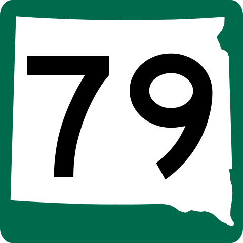
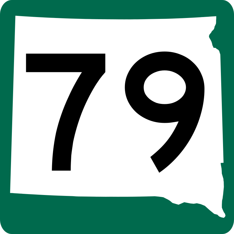
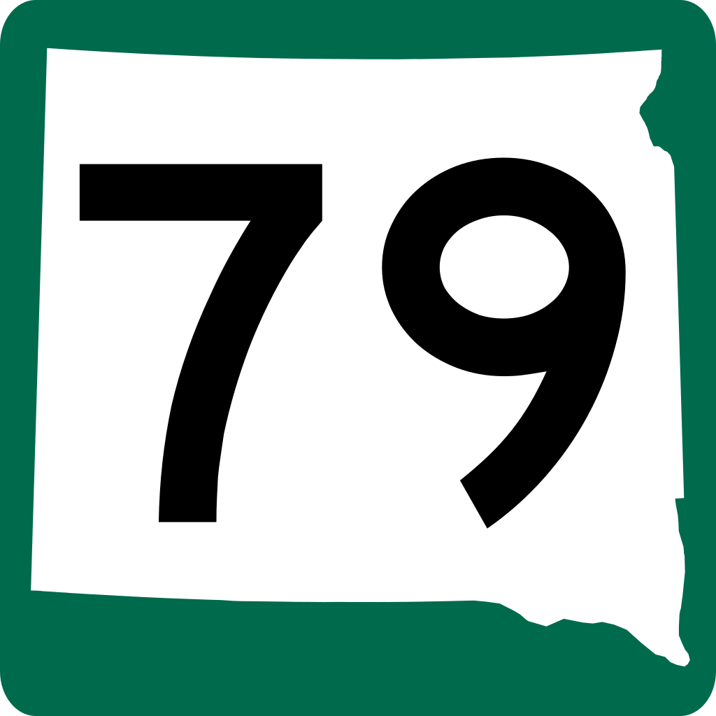
| Description | South Dakota state highway marker. Signs use FHWA type D font (Type C only with approval of engineer). |
| Date | |
| Source | http://www.sddot.com/business/design/plates/docs/s63220.pdf |
| Author | Fredddie |
| This image of simple geometry is ineligible for copyright and therefore in the public domain, because it consists entirely of information that is common property and contains no original authorship. |  |
File history
Click on a date/time to view the file as it appeared at that time.
| Date/Time | Thumbnail | Dimensions | User | Comment | |
|---|---|---|---|---|---|
| current | 02:17, 12 May 2010 | | 600 × 600 (14 KB) | Fredddie | |
| 01:52, 6 January 2007 |  | 385 × 385 (24 KB) | Master son | {{Information| |Description=South Dakota state highway marker. Uses the FHWA font (type D font. Type C only with approval of engineer) |Source=http://www.sddot.com/pe/roaddesign/docs/Standard_Plates/English/s63220.pdf |Date=2007.1.5 |Author=[[User:Master_ | |
| 15:04, 26 December 2006 |  | 385 × 385 (204 KB) | Master son | {{Information| |Description=South Dakota state Highway marker. Uses the FHWA font (type D font. Type C only with approval of engineer) |Source=http://www.sddot.com/pe/roaddesign/docs/Standard_Plates/English/s63220.pdf |Date=2006.12.26 |Author=[[User:Maste | |
| 15:34, 20 December 2006 |  | 385 × 385 (204 KB) | Master son | {{Information| |Description=South Dakota state Highway marker. Uses the FHWA font (type D font. Type C only with approval of engineer) |Source=http://www.sddot.com/pe/roaddesign/docs/Standard_Plates/English/s63220.pdf |Date=10/5/2006 |Author=Scott Onson | | |
| 22:11, 5 October 2006 |  | 1,728 × 1,731 (197 KB) | Master son | {{Information| |Description=Nebraska state Highway marker. Uses the FHWA font (type D font. Type C only with approval of engineer) |Source=http://www.sddot.com/pe/roaddesign/docs/Standard_Plates/English/s63220.pdf |Date=10/5/2006 |Author=Scott Onson |Per |
File usage
The following 28 pages use this file:
- Butte County, South Dakota
- Custer County, South Dakota
- Fall River County, South Dakota
- Harding County, South Dakota
- Heartland Expressway
- Interstate 190 (South Dakota)
- Interstate 90 in South Dakota
- List of highways numbered 79
- List of state highways in South Dakota
- Maverick Junction, South Dakota
- Meade County, South Dakota
- North Dakota Highway 22
- South Dakota Highway 168
- South Dakota Highway 20
- South Dakota Highway 34
- South Dakota Highway 36
- South Dakota Highway 40
- South Dakota Highway 44
- South Dakota Highway 445
- South Dakota Highway 75
- South Dakota Highway 79
- U.S. Route 18 in South Dakota
- U.S. Route 385 in Nebraska
- U.S. Route 81
- User:Morriswa/Clinched highways/Interstates
- User:Morriswa/Clinched highways/State highways
- User:Morriswa/Clinched highways/U.S. highways
- Wikipedia:WikiProject U.S. Roads/Redirects/South Dakota
Global file usage
The following other wikis use this file:
- Usage on de.wikipedia.org
- Usage on es.wikipedia.org
- Usage on fr.wikipedia.org
- Usage on ja.wikipedia.org
- Usage on www.wikidata.org
- Usage on zh-min-nan.wikipedia.org
You must be logged in to post a comment.